Not-So Barren Beauty: The 20 Best Deserts Destinations In The World
Chasing Sandy Extremes
Most travelers chase green forests or blue coastlines, missing out on golden opportunities in some of the earth's most desolate yet beautiful landscapes. Deserts challenge our perceptions of barrenness by revealing incredible biodiversity and human ingenuity against all odds. Here are 20 sun-baked wonderlands that deserve your bucket-list attention.
 Mohamed Ahmed Yousry on Wikimedia
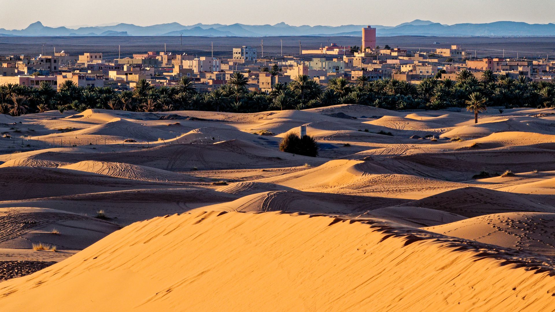
1. Sahara Desert, Morocco
Morocco's portion of the Sahara, particularly near Merzouga, offers visitors traditional Berber camps beneath star-filled skies unobstructed by light pollution. The area includes vast dune fields (ergs), rocky plateaus (hamadas), gravel plains (regs), and desert oases. In the hottest months, temperatures usually exceed 40°C.
 Holger Uwe Schmitt on Wikimedia
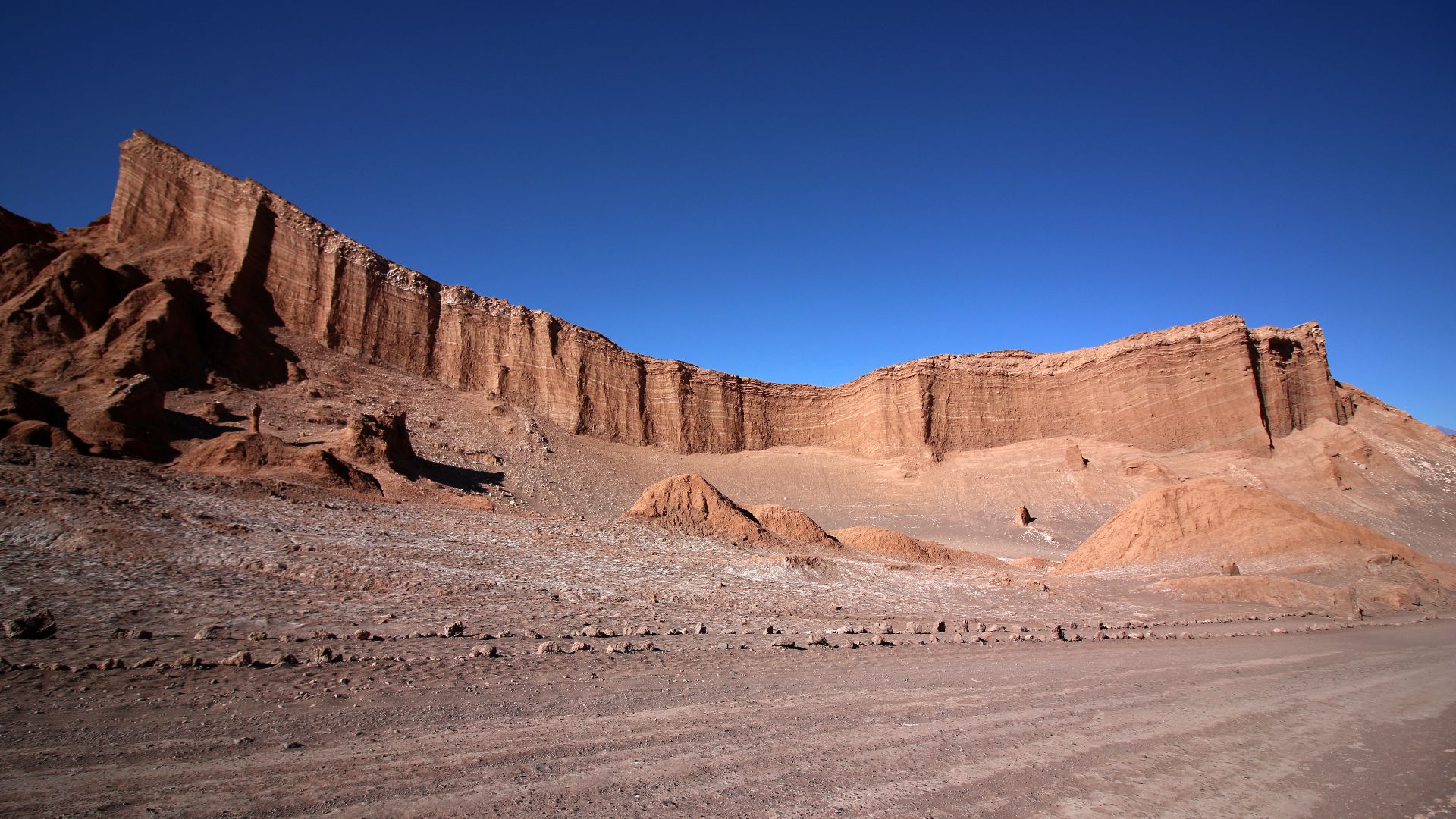
2. Atacama Desert, Chile
Scientists flock to this high-altitude beauty to test Mars rovers, as its conditions mirror the red planet's surface. Stretching 600 miles along Chile's Pacific coast, the Atacama is Earth's driest non-polar desert, with some locations even recording no rainfall for 400+ years.
 Marcus Dall Col marcusdallcol on Wikimedia
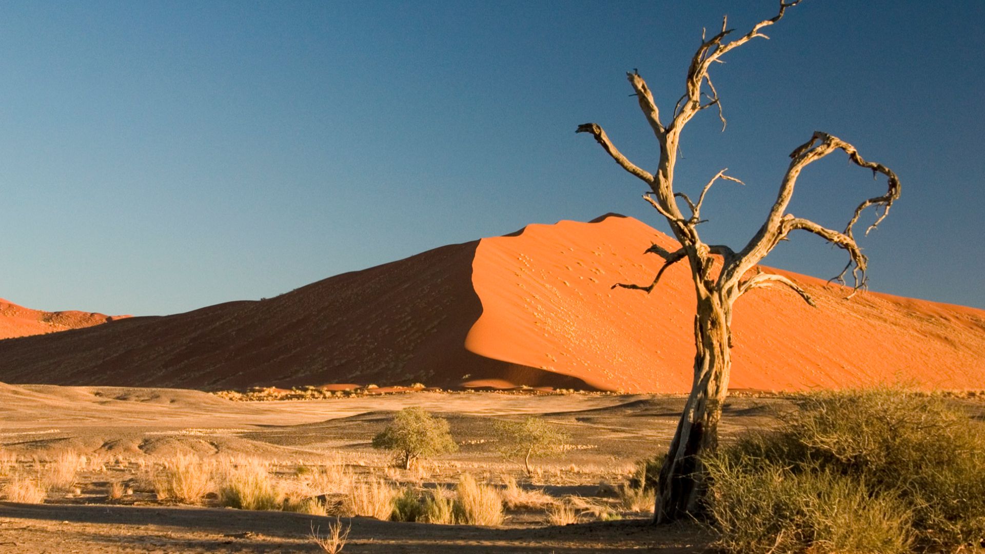
3. Namib Desert, Namibia
The rust-red dunes of Sossusvlei rise above 1,000 feet, creating a photographer's paradise where light and shadow play throughout the day. Did you know that Namib is Earth's oldest desert, at 55–80 million years old? Its unique ecosystem includes the Welwitschia plant.
 Luca Galuzzi (Lucag) on Wikimedia
4. Mojave Desert, USA
Joshua trees reach toward the sky like something from a Dr. Seuss book in this iconic American desert. Situated primarily in southeastern California and southern Nevada, the Mojave spans 47,877 square miles. It holds Death Valley—North America's hottest spot, with a record 134°F.

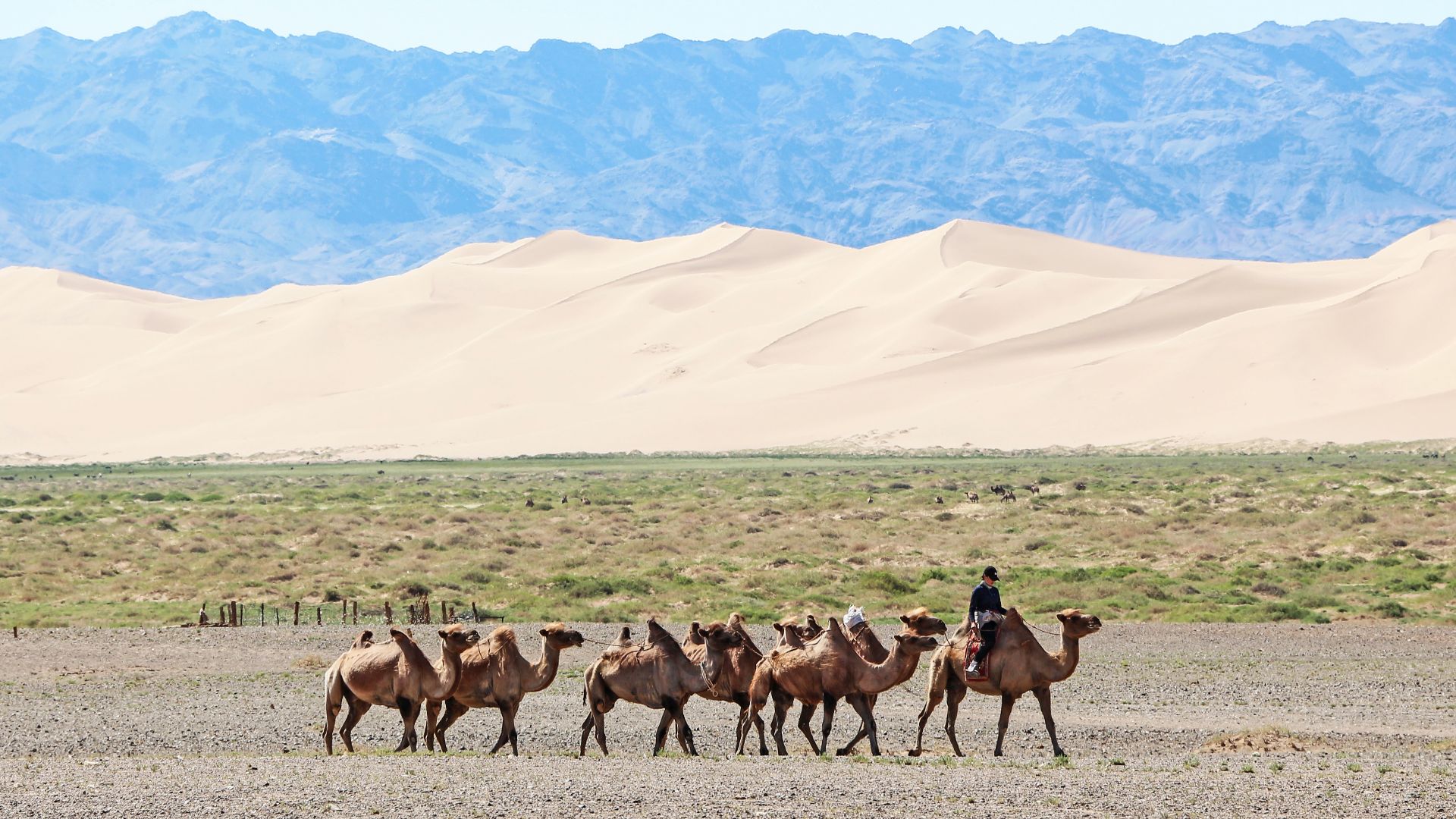
5. Gobi Desert, Mongolia
Ancient dinosaur fossils lie beneath the ground, where the first dinosaur eggs were found in 1923. The Gobi stretches across southern Mongolia and northern China. Temperature extremes swing from -40°F in winter to 122°F in summer, while nomadic families still practice traditional herding lifestyles.
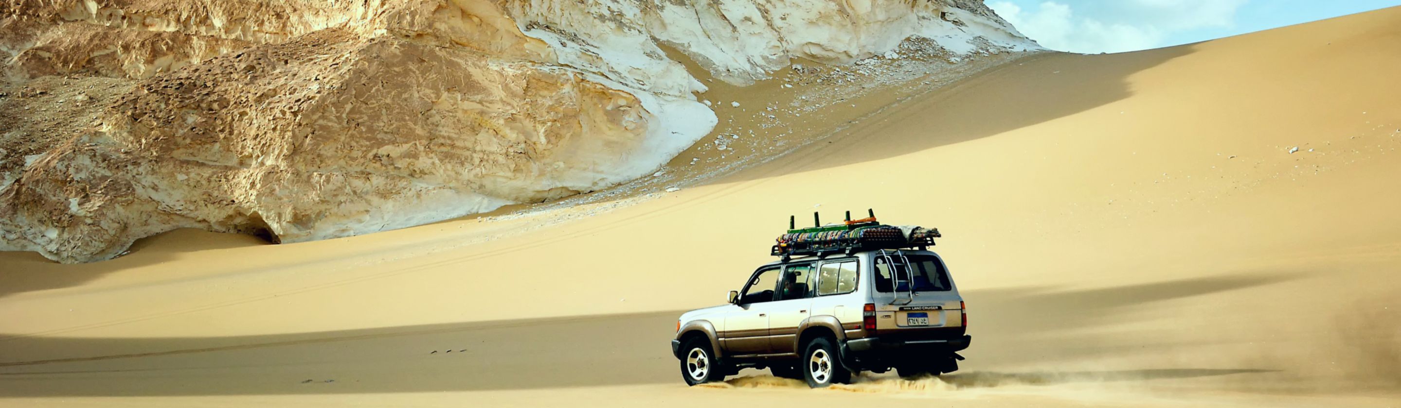
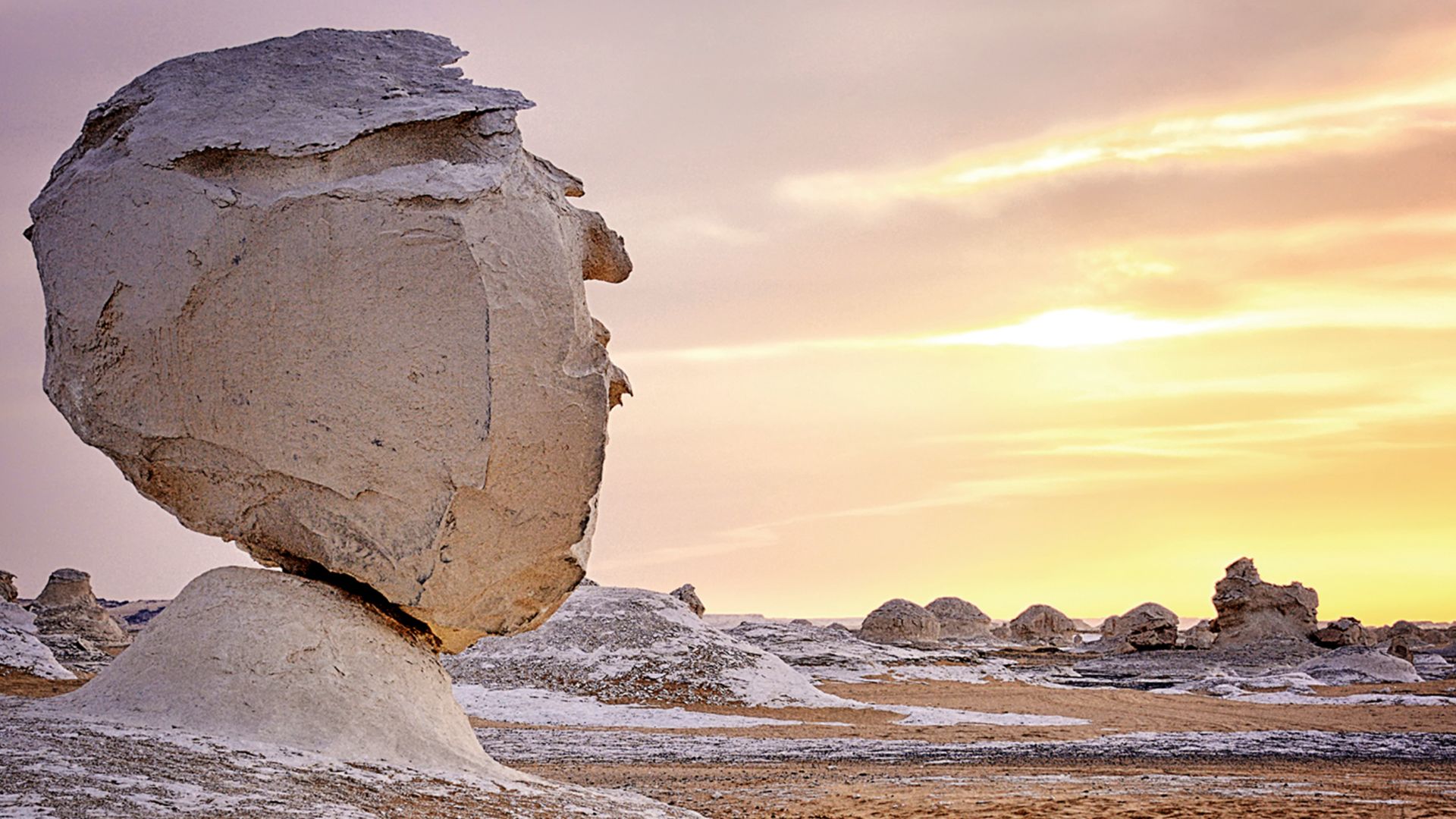
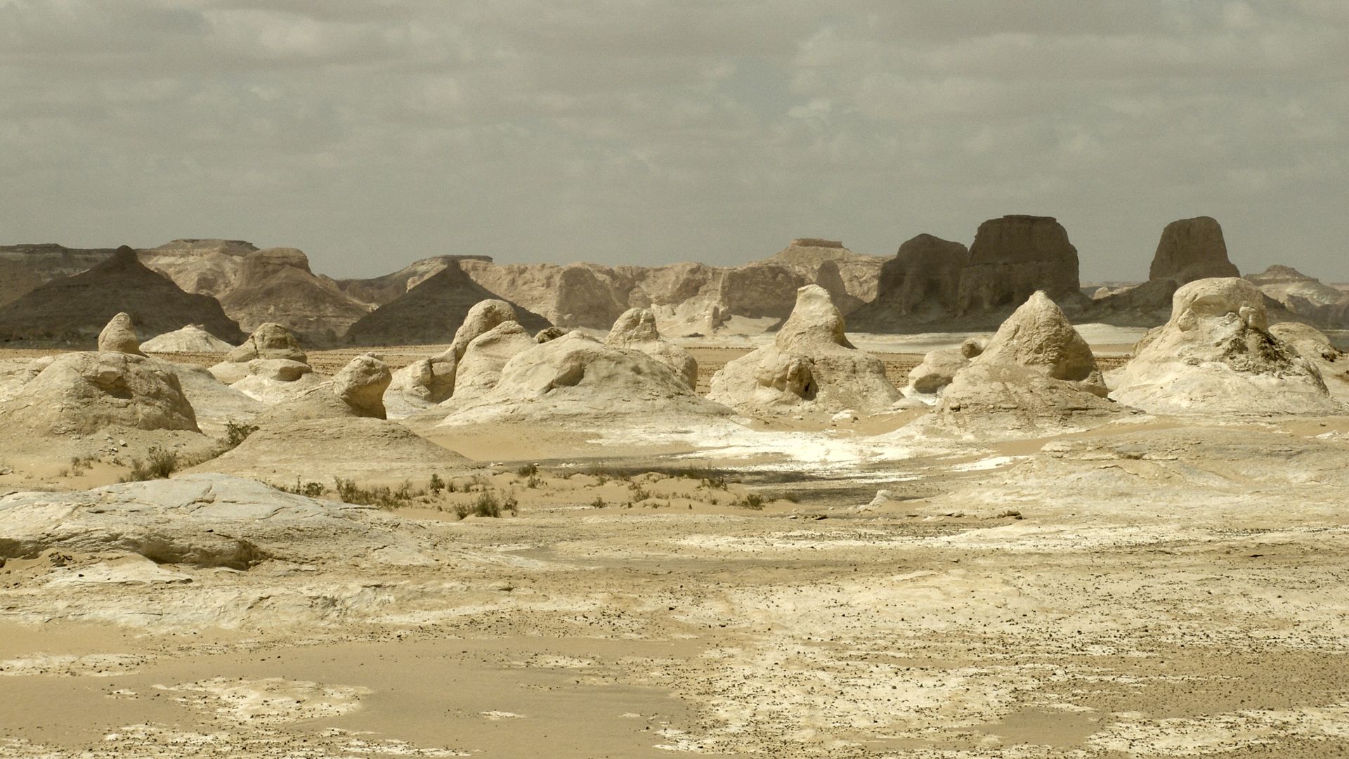
6. White Desert, Egypt
Surreal chalk formations resembling mushrooms and ice cream cones emerge from Egypt's Western Desert. These are sculpted by sandstorms over millennia. The White Desert National Park, 28 miles north of Farafra Oasis, changes dramatically under the full moon, glowing with an otherworldly luminescence.
 Vyacheslav Argenberg on Wikimedia
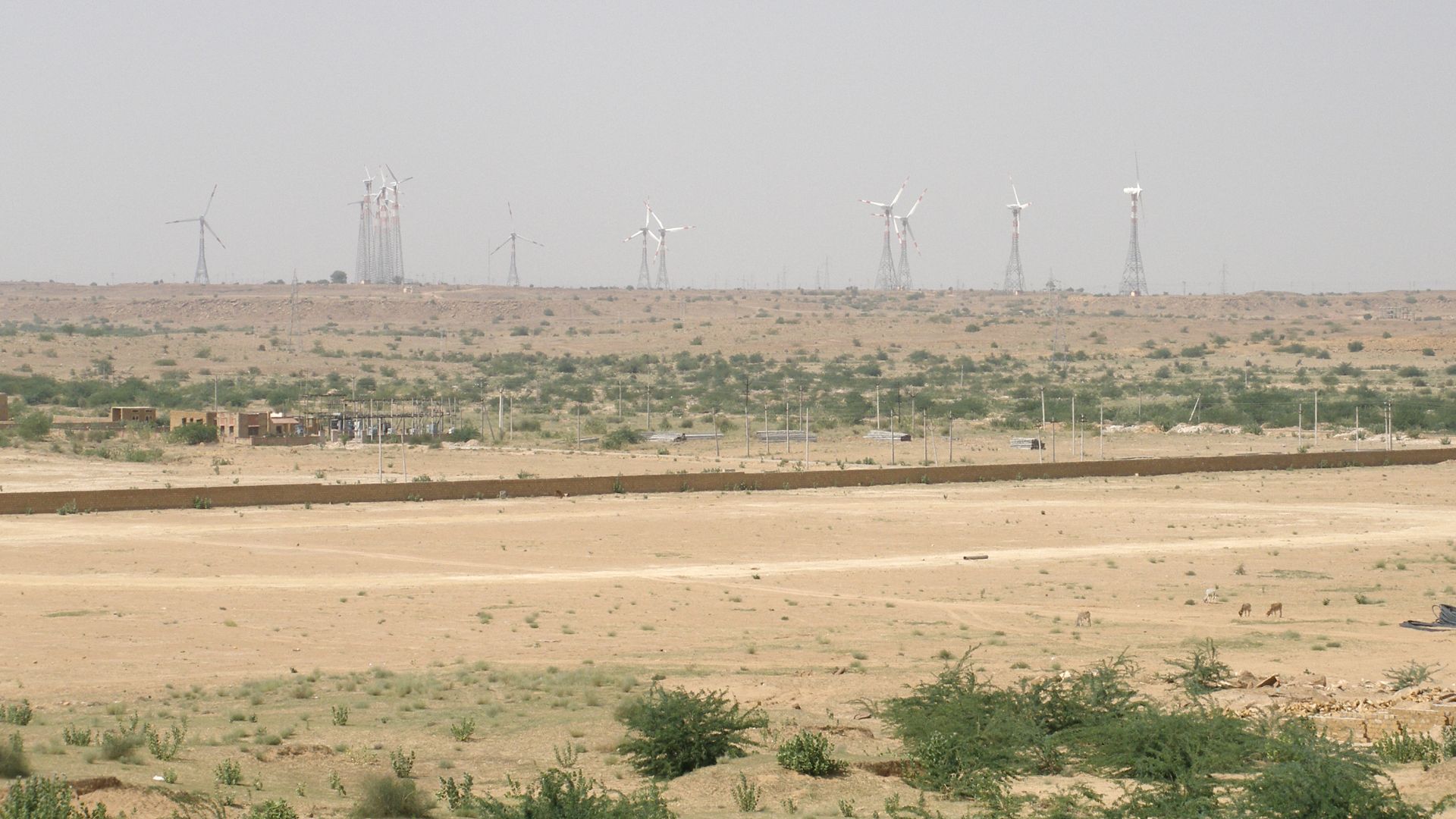
7. Thar Desert, India
This famous desert is present between India and Pakistan. Women in bright saris collect water from distant wells while wearing traditional silver jewelry that doubles as wealth storage. The Thar supports remarkable biodiversity, including 23 lizard species, desert foxes, and the Great Indian Bustard.
 Vyacheslav Argenberg on Wikimedia
8. Wadi Rum, Jordan
T.E. Lawrence described Wadi Rum as "vast, echoing and god-like" during his Arabian campaigns. The vermilion sands of Wadi Rum have witnessed 12,000 years of human habitation, evidenced by around 25,000 petroglyphs and inscriptions carved into canyon walls. Bedouin tribes reside here.

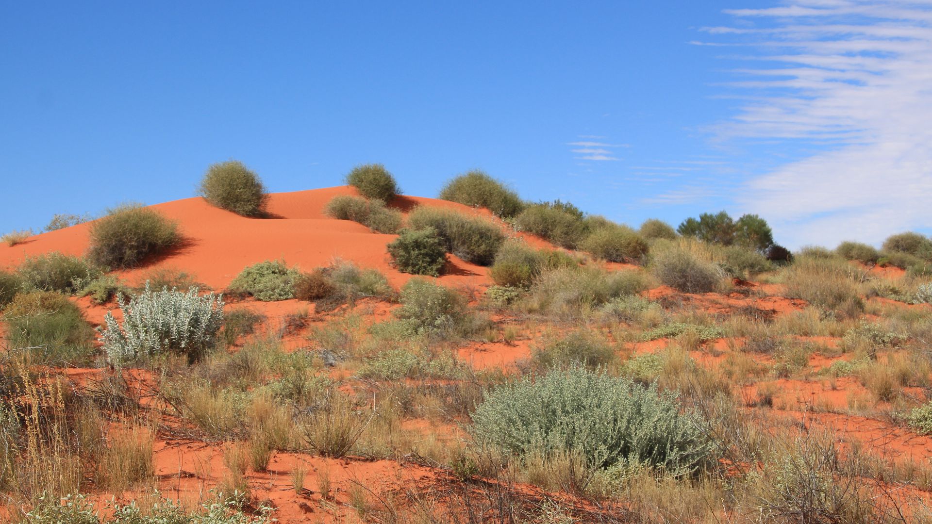
9. Simpson Desert, Australia
The world's most extensive parallel dune system has approximately 1,100 dunes running north-south for hundreds of miles. Vegetation includes spinifex grasses (Triodia), mulga trees, and wildflowers, which bloom in the desert after rain. Periodic heavy rains sometimes cause temporary flooding.
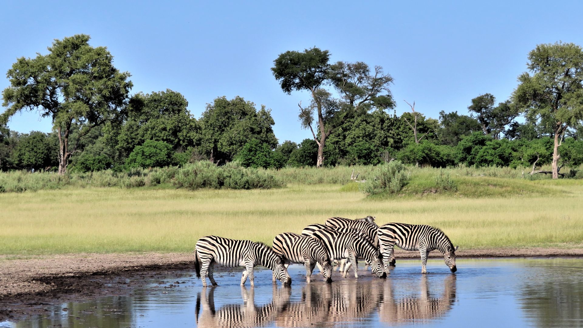
10. Kalahari Desert, Botswana
San Bushmen have thrived in this semi-arid savanna for several years now. It is characterized by gently undulating sand-covered plains, sand sheets, longitudinal dunes, and seasonal pans known as vleis. One permanent river is present here, the Okavango, which feeds the Okavango Delta.
11. Salar de Uyuni, Bolivia
During the monsoon season, this huge salt flat turns into a perfect mirror, creating the illusion of walking among clouds. Covering 4,086 square miles of Bolivian altiplano, the prehistoric lake dried up 30,000 years ago. It left behind a 10-billion-ton salt crust.

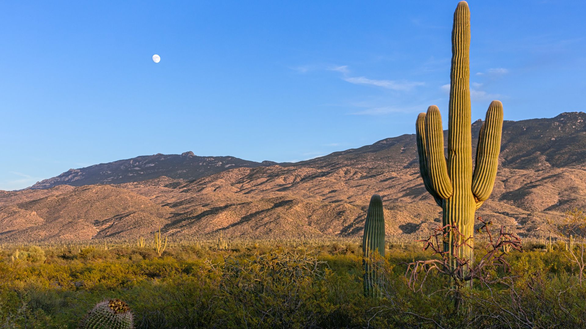
12. Sonoran Desert, USA/Mexico
Cacti forests craft extraordinary scenery where the saguaro can literally store up to 200 gallons of water during rare rainfall events. The Sonoran is North America's hottest desert, and it supports 2,000 plant species. It wraps around the northern end of the Gulf of California.
 NOIRLab/NSF/AURA/P. Horálek on Wikimedia
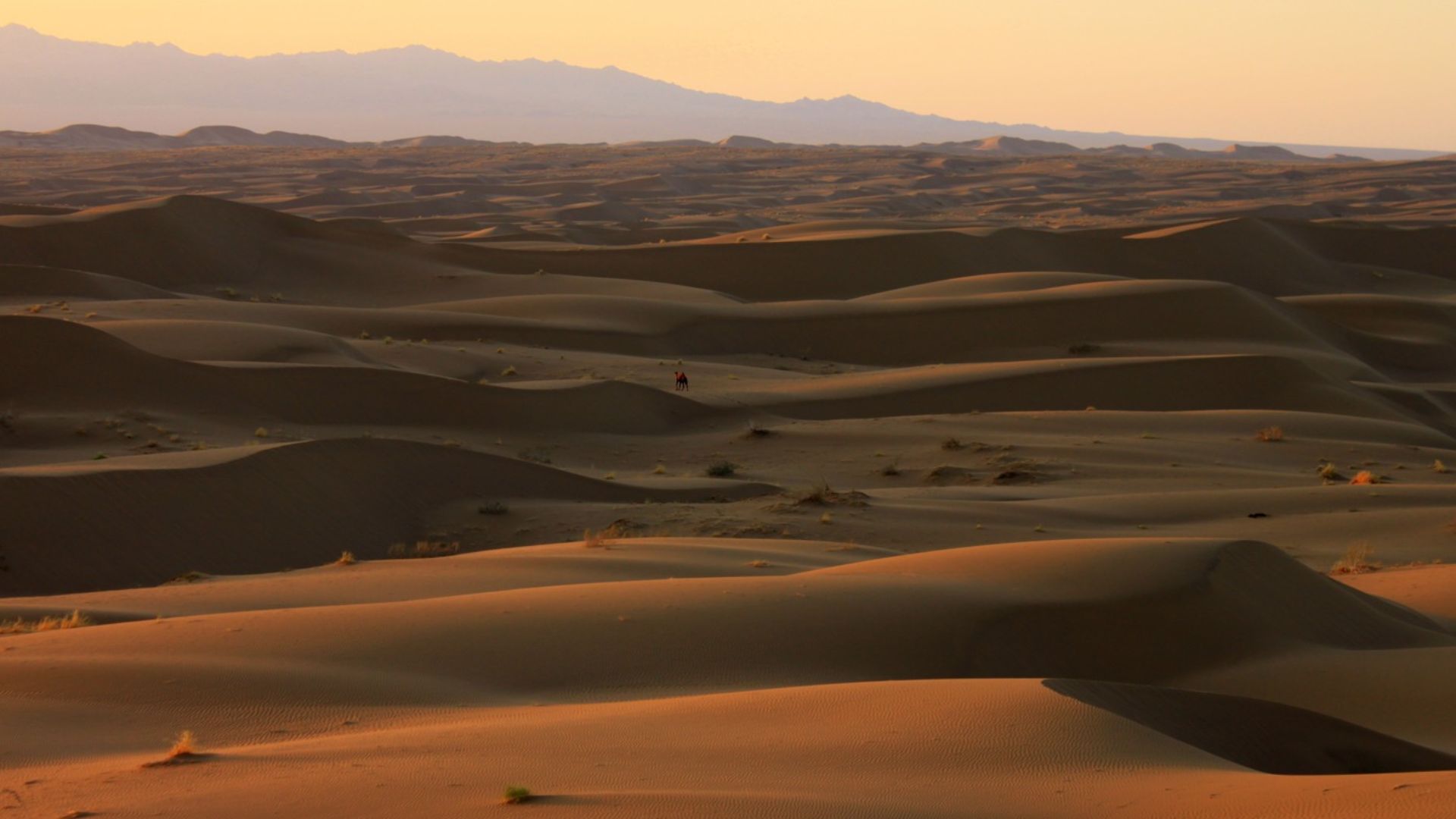
13. Dasht-e Kavir, Iran
Ancient Persian caravanserais still dot trade routes that once connected East and West through this vast place. The name means "Great Salt Desert" in Persian, about 27,000 square miles in Iran's central plateau. Intense temperature fluctuations can reach 70°F between day and night.
14. Dubai Desert, UAE
Luxury desert resorts offer air-conditioned tents with private pools, a short distance from where Bedouin tribes once struggled for survival. The Al Marmoom Desert Conservation Reserve covers 10% of Dubai's total area and protects 39 species of plants, 19 mammals, and 34 native bird species.
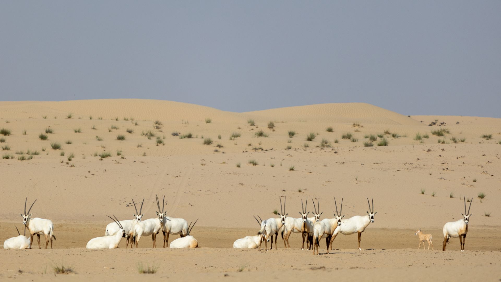
15. Rub' al Khali (Empty Quarter), Saudi Arabia
Earth's largest continuous sand desert swallowed ancient cities, inspiring legends of lost civilizations that persist today. British explorer Wilfred Thesiger documented his 1940s crossings with Bedouin guides who traveled following stars and subtle sand patterns. It is part of the larger Arabian Desert.
 Dan from Brussels, Europe on Wikimedia
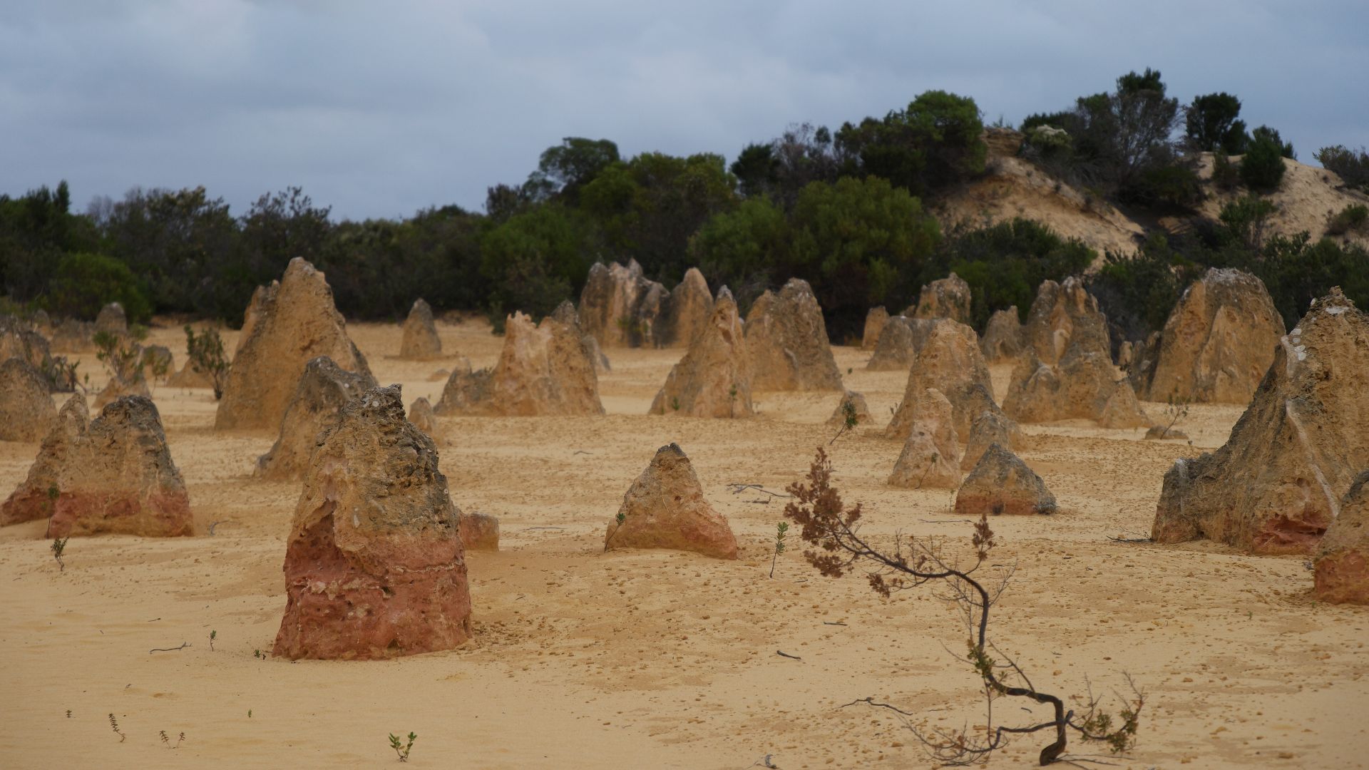
16. Pinnacles Desert, Australia
Beautiful limestone spires rise mysteriously from the shifting sands of the Pinnacles Desert. Apparently, these were formed when acidic rainwater dissolved calcium from seashells. The limestone formations, some reaching 3.5 meters tall, form eerie shadows at sunrise and sunset while wild emus dart between them.
17. Great Basin Desert, USA
Ancient bristlecone pines cling to windswept ridges overlooking this high-elevation desert basin. Mountain ranges are generally 60 to 120 miles long and 3 to 15 miles wide, with peaks often exceeding 9,000 feet (2,750 meters). The region is an endorheic basin.
 Earth's beauty internet site on Wikimedia
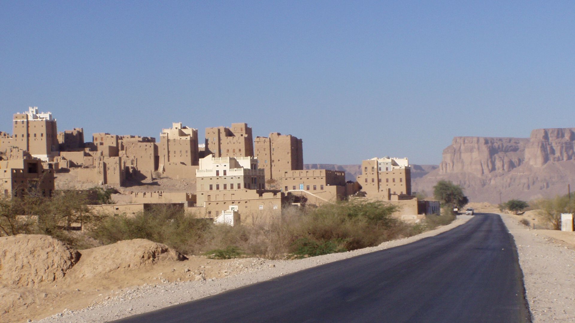
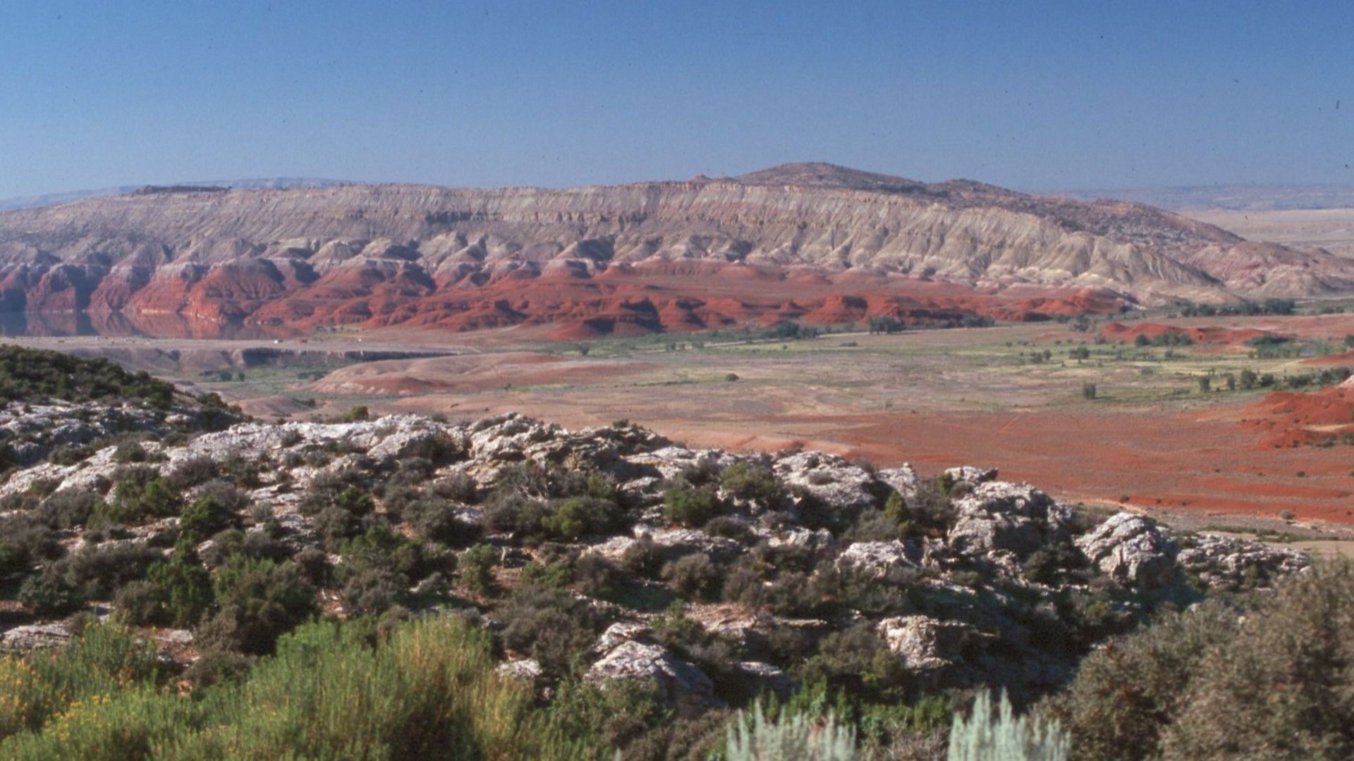
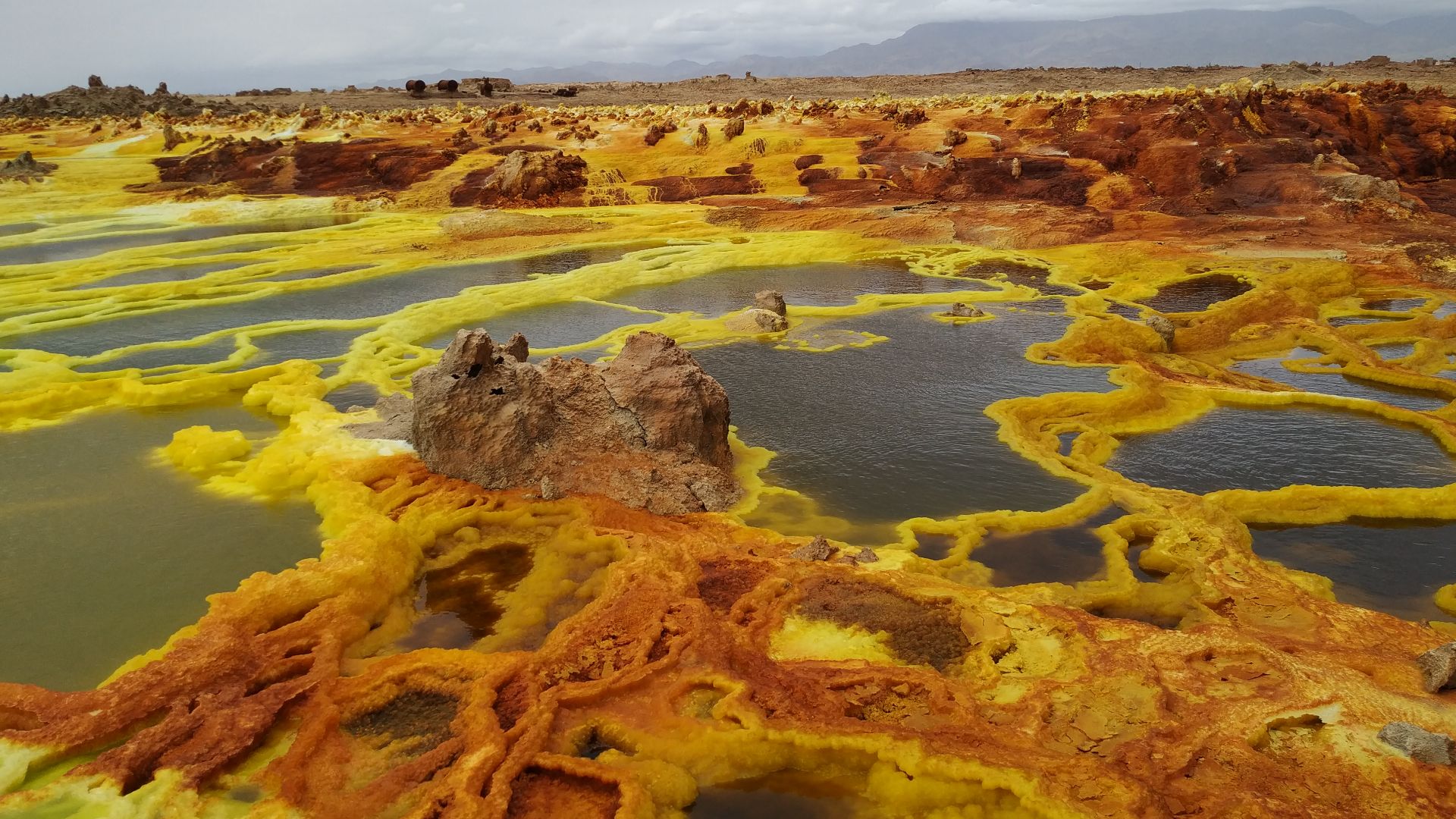
18. Danakil Depression, Ethiopia
The Afar people mine salt in 120°F heat, maintaining traditions dating back to the 6th century when salt was more valuable than gold. Often referred to as the Danakil Desert or Afar Desert, its average annual rainfall is as low as 100–200 mm.
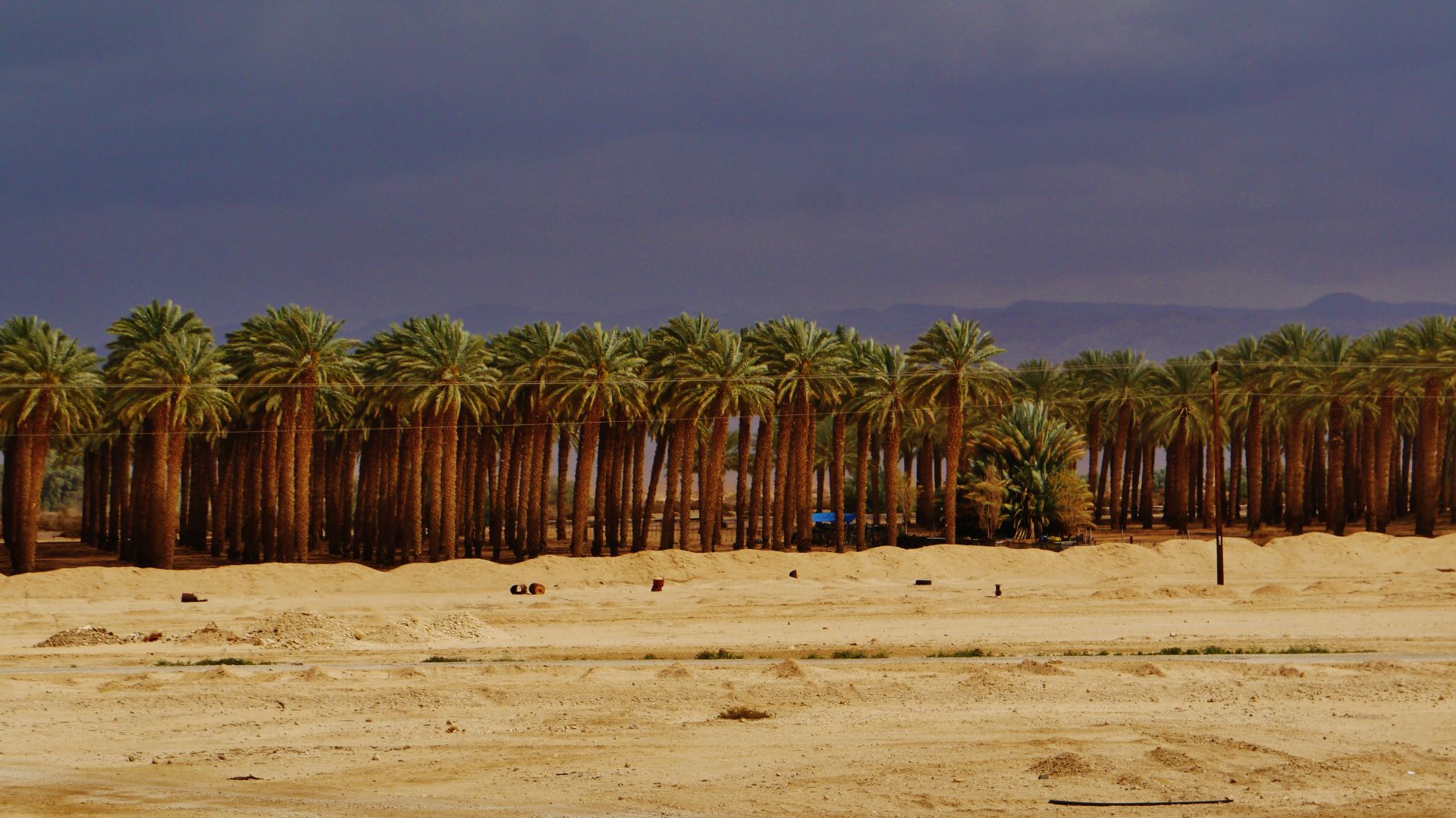
19. Negev Desert, Israel
Here comes a roughly triangular desert, extending from the Red Sea tourist town of Eilat in the south to the city of Beersheba in the north. The region consists of the Negev Highlands (Ramat HaNegev), which stand between 370 and 520 meters above sea level..
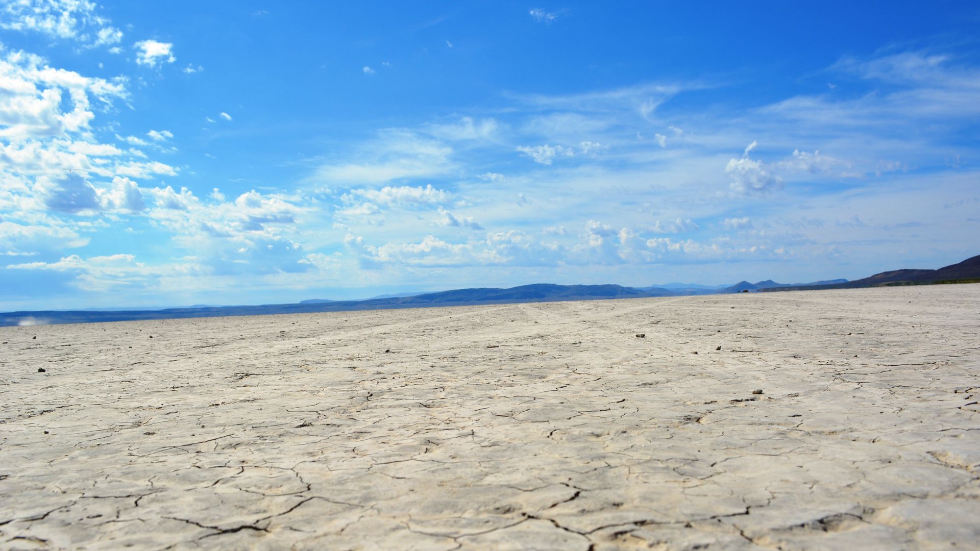
20. Alvord Desert, USA (Oregon)
The Alvord Desert lies cradled by mountain ranges like Steens Mountain, Mickey Butte, Pueblo Valley, and Tule Springs Rim. It’s a flat, cracked-earth playa—a dry lake bed formed within the Basin and Range Province. Geologically, it’s a graben: a sunken block of land bordered by faults.
 Bureau of Land Management Oregon and Washington on Wikimedia