10 Cities People Always Get Lost In & 10 That Are Easy To Navigate
From Total Mazes To Simple Strolls
Have you ever felt that sinking feeling of being utterly lost in a new city? Well, some urban jungles have incredibly confusing designs that can leave anyone wondering which road leads to where. But thankfully, a few other cities welcome you with logical layouts and clear signs. Those who know the difference can easily choose which one to skip and which one is worth exploring next. So, let's begin this list with ten cities that’ll test your sense of direction.

1. Venice, Italy
Don't even bother with Google Maps here; it often fails among the identical and winding alleys. Streets frequently end at canals, forcing you to backtrack through a maze where local signage is minimal, which explains why even residents get lost.
2. Tokyo, Japan
Tokyo's address system is a puzzle, since it relies on block numbers instead of street names. The houses here are numbered non-sequentially. This is why locals use landmarks for directions, and then the vast and multi-layered subway adds another layer of complexity.

3. Fez, Morocco
Prepare to get turned around in Fez's medina, with over 9,000 winding alleys, where landmarks blend in and signs are nonexistent. Just when you think your phone can help, the GPS signal will likely drop and ultimately leave you truly disoriented.

4. Boston, USA
The city's oldest sections feel like a maze, with confusing one-ways and roundabouts that baffle drivers. The walking paths are also inconsistent and poorly marked for pedestrians. To make matters worse, street names change abruptly.

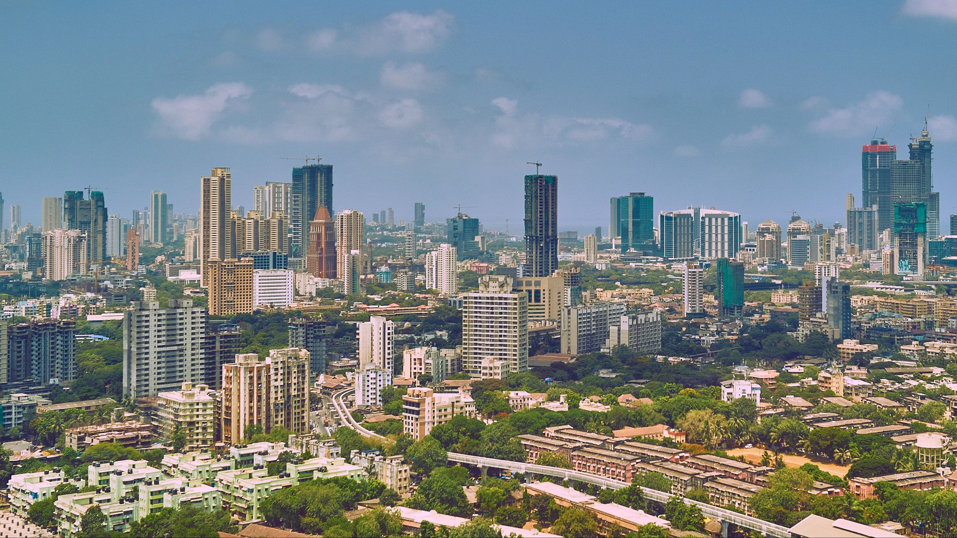
5. Mumbai, India
You'll discover that Mumbai's street names can vary by neighborhood and language, which means informal landmarks often replace official addresses. Traffic congestion hides what little signage exists, so locals direct people using shops or temples as reference points instead.
6. Paris, France
While Paris is beautiful above ground, its Metro system can be a navigational nightmare. The lines crisscross with poor signage, and the underground stations have confusing exits. Tourist maps often omit key alleys, which makes exploring at street level a much easier experience for visitors.
 Yann Caradec from Paris, France on Wikimedia
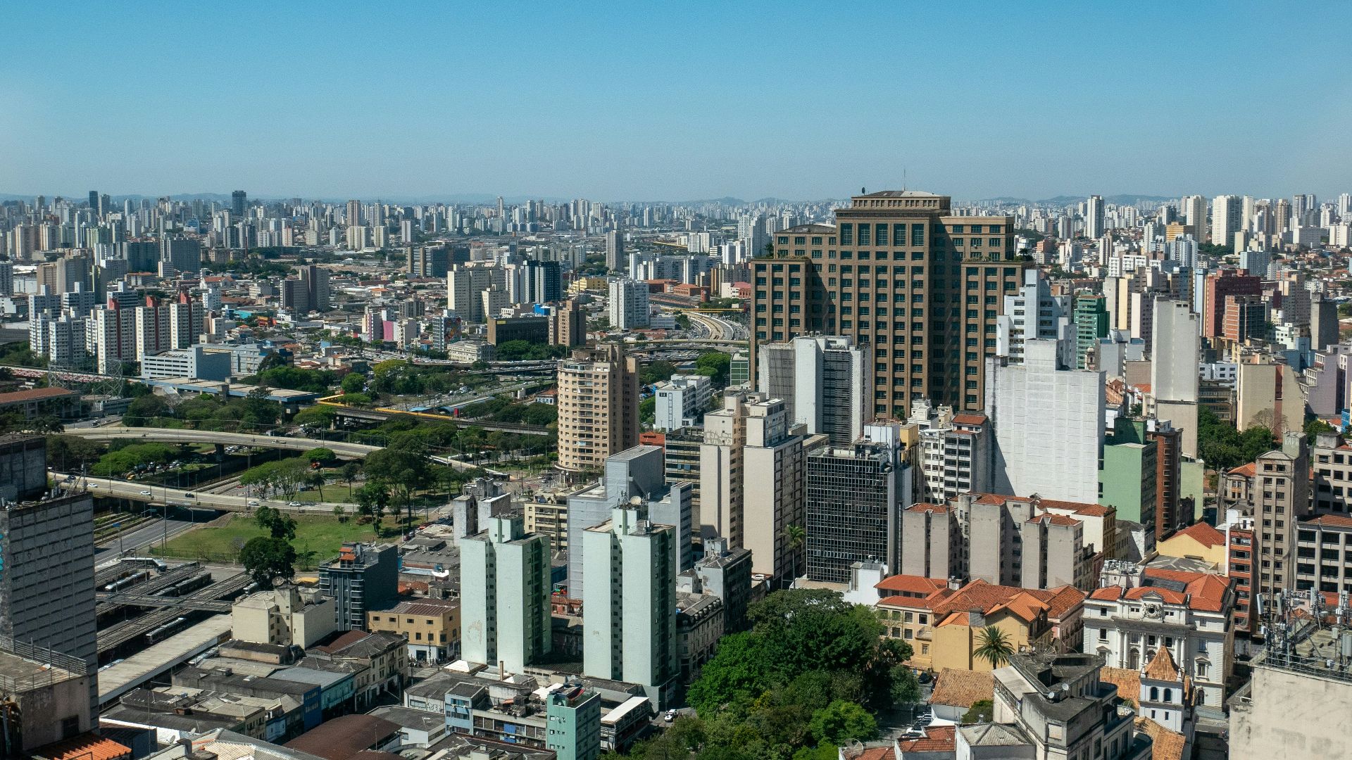
7. São Paulo, Brazil
At over 1,500 square kilometers, the sheer size of São Paulo makes it daunting for any traveler. Its sprawling layout lacks distinct landmarks to help you, whereas confusing traffic circles and hard-to-read public transit maps only add to the chaos.
8. Seoul, South Korea
An unusual address system makes Seoul perplexing, as it uses building numbers instead of street names to identify locations. This gets more confusing as districts are split into zones and subway exits are numbered, not named.

9. Jerusalem, Israel
A walk through Jerusalem's Old City has streets that inexplicably change names as you cross religious quarters. Your GPS will frequently fail within the stone-walled areas, so local knowledge is almost essential for finding your way successfully.

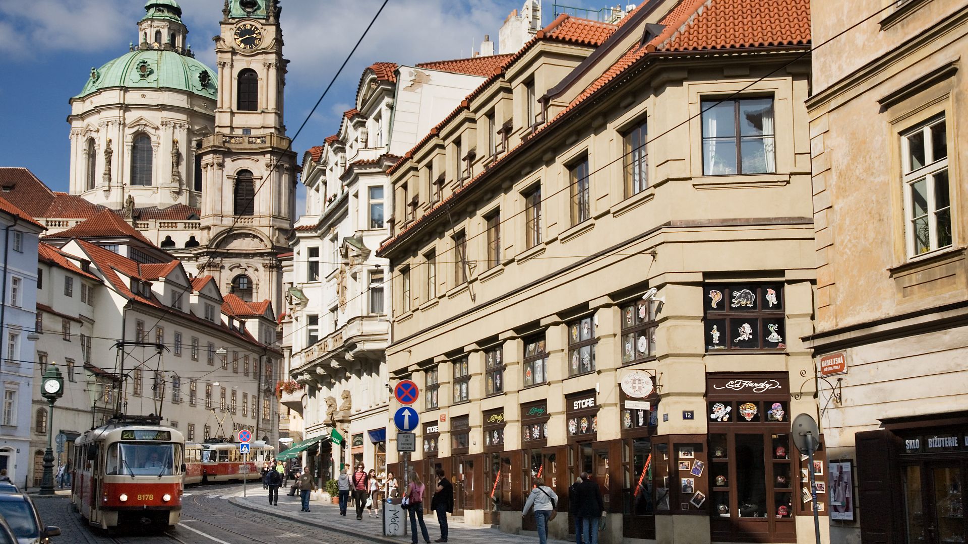
10. Prague, Czech Republic
Within Prague's charming historic center is a labyrinth of winding medieval streets that easily confuse visitors. The long, hard-to-pronounce street names and signs posted only in Czech make getting your bearings a significant challenge without a good, detailed map.
Done with those urban mazes? Now for the easy part: cities so simple, you can just enjoy the walk.
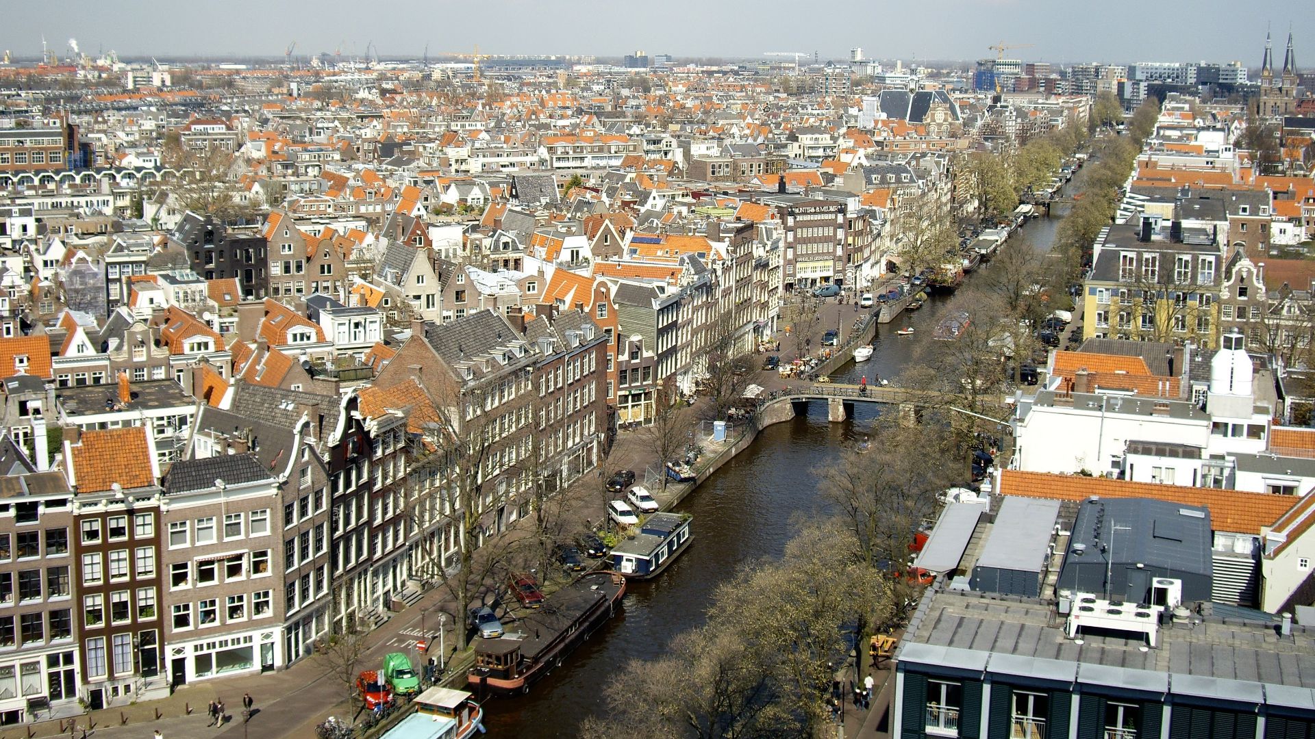
1. Amsterdam, Netherlands
Thanks to its logical layout, Amsterdam is refreshingly easy to explore, as its canals form concentric loops that simplify orientation. The center is compact and walkable, while punctual public transit and clear pictograms make getting around effortless for everyone.
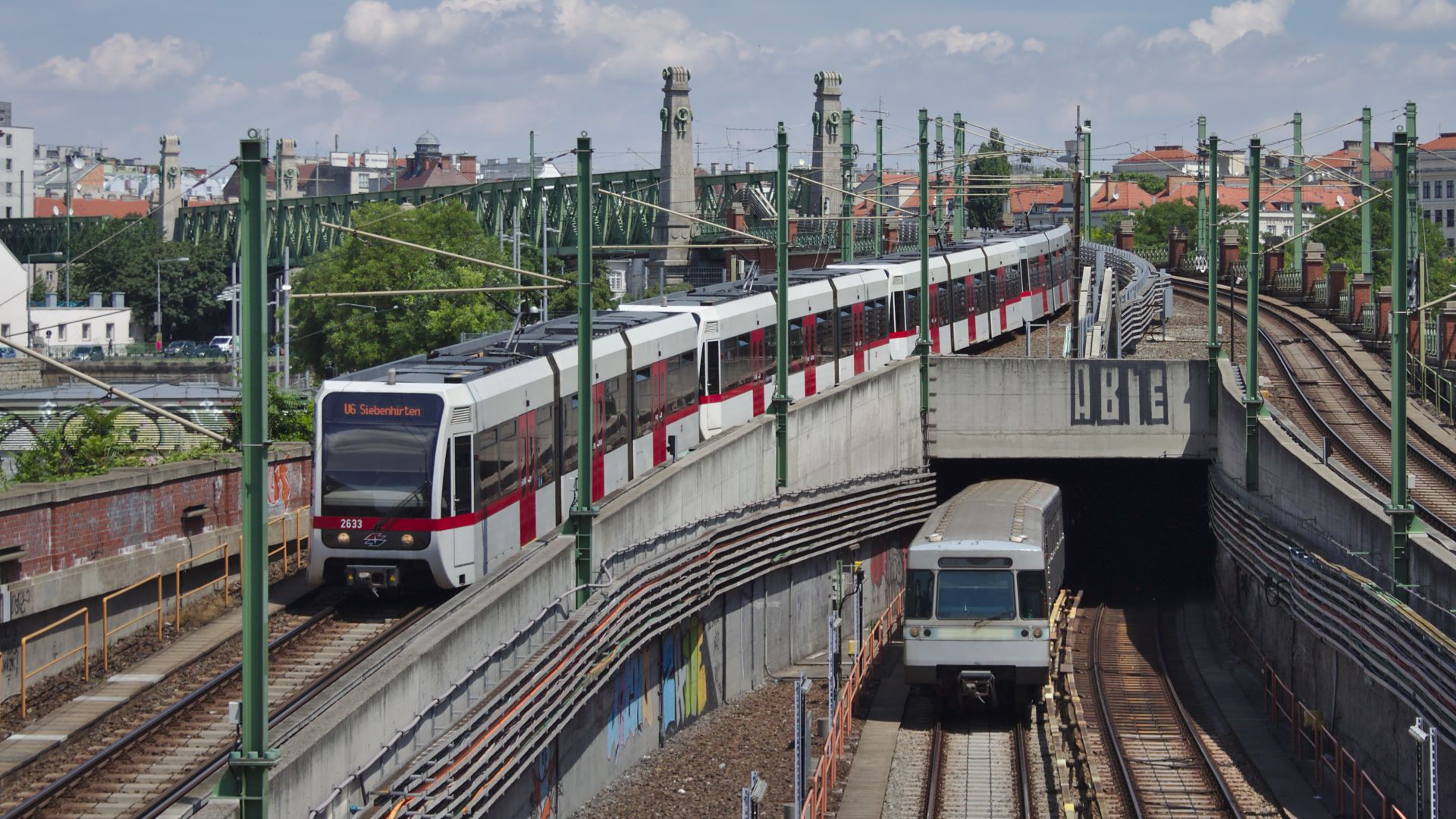
2. Vienna, Austria
Thoughtful city planning makes Vienna a joy to get around, especially with its famous ring road providing a clear orientation point. Vienna's U-Bahn system is both punctual and intuitive, and key landmarks stay visible from most areas.
3. Barcelona, Spain
It's straightforward to find your way around Barcelona, since the Eixample district follows a perfect grid that is easy to understand. Plus, metro stations are clearly marked and street signs are bilingual. The landmarks like Sagrada Família also help orient you.

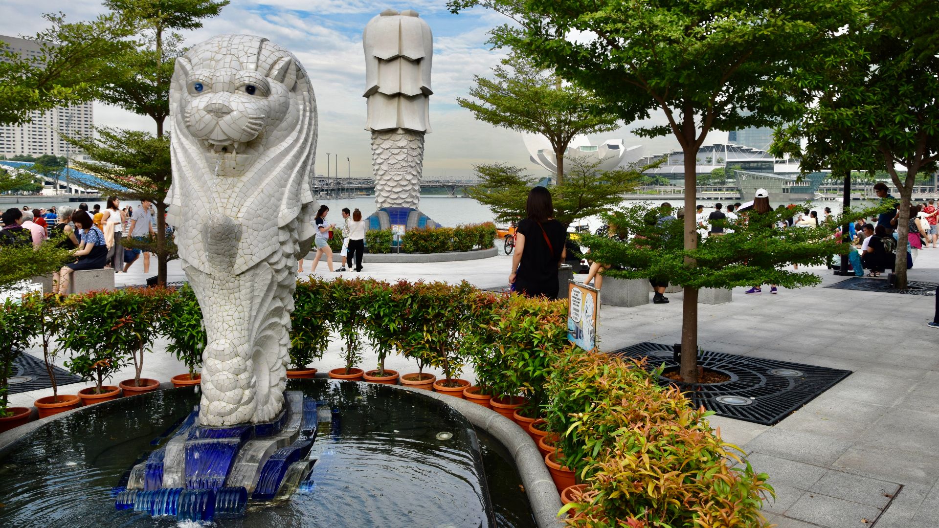
4. Singapore
You'll find Singapore incredibly simple to explore because its efficient MRT system connects nearly all districts with color-coded lines and standard English signage. Above ground, the streets follow a logical grid, with underground malls connecting major areas conveniently.
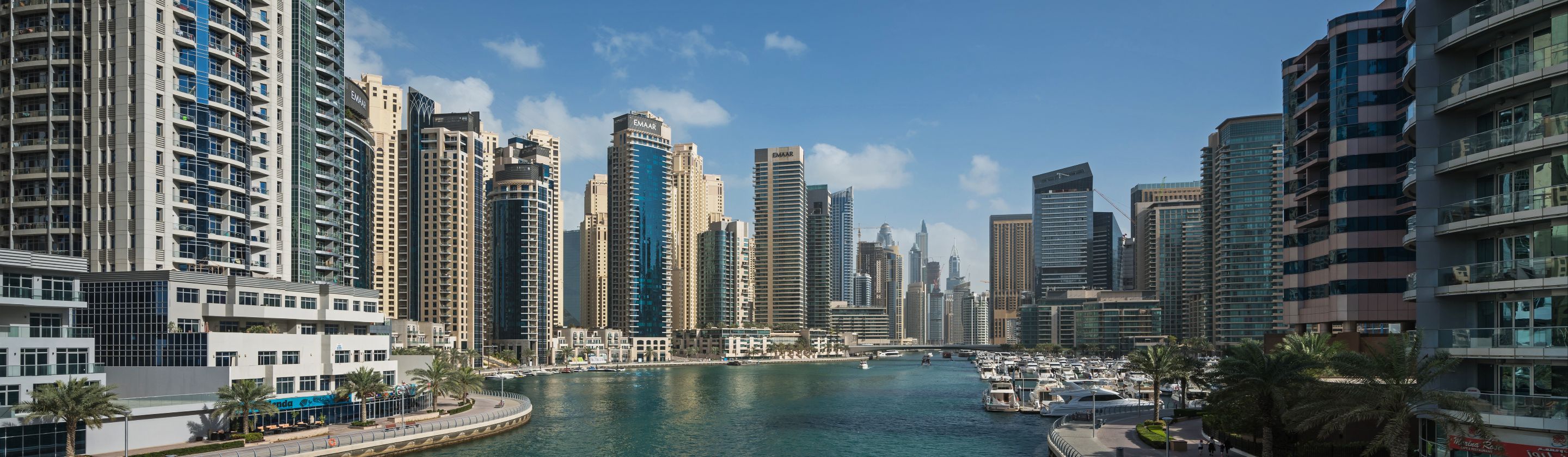
5. Dubai, UAE
Dubai's distinct and easy-to-spot landmarks simplify orientation from anywhere in the city. Reaching them is very easy on wide, well-labeled roads with standard English signage. Or you can take the famously clean and efficient metro system, which is just as efficient.

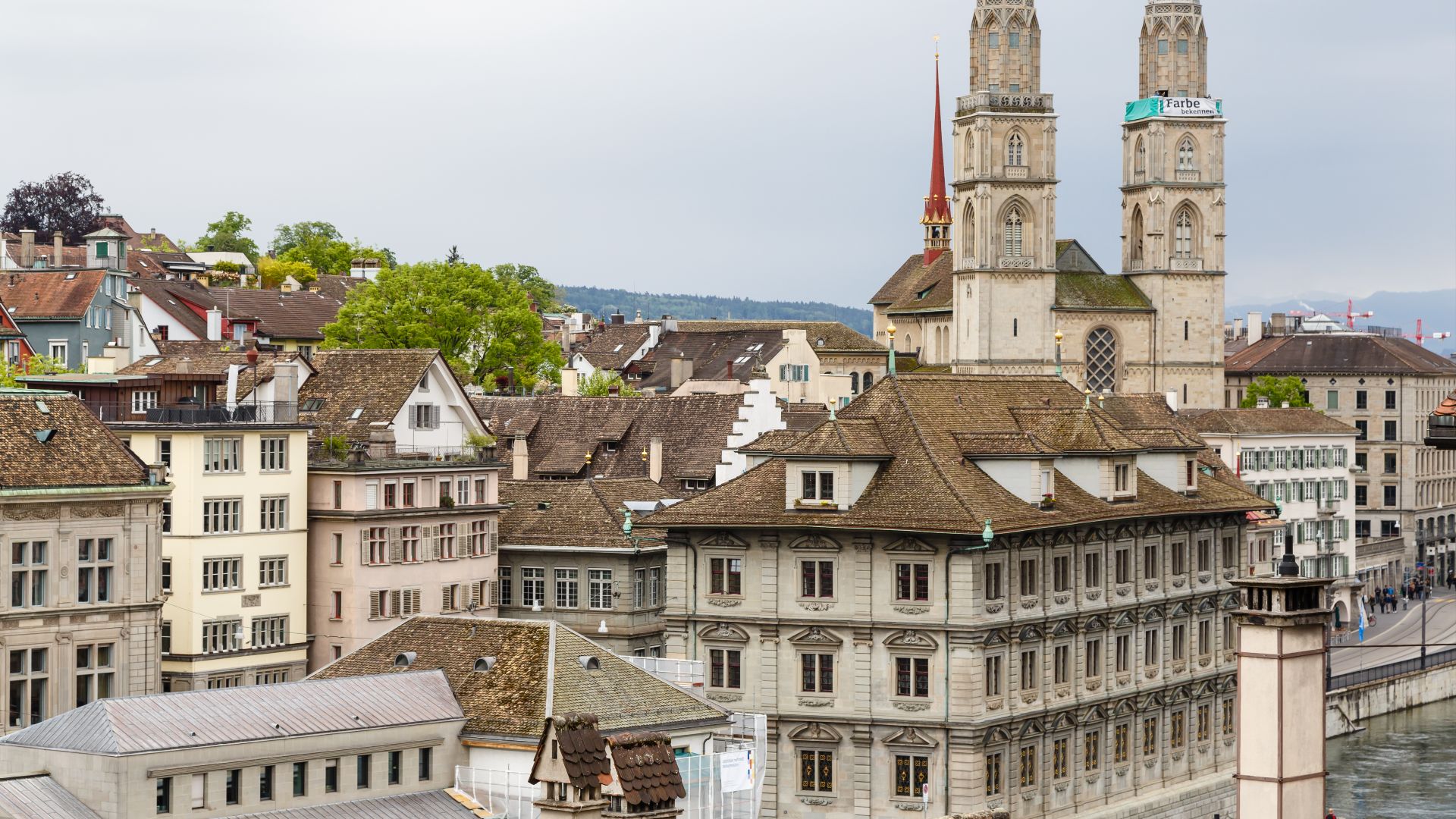
6. Zurich, Switzerland
Swiss precision isn't just for watches. It also defines getting around in Zurich. Trams run on exact schedules, and their transit apps are highly reliable. The roads are also well-maintained, while the compact city center makes walking an absolute pleasure.
 CEphoto, Uwe Aranas on Wikimedia
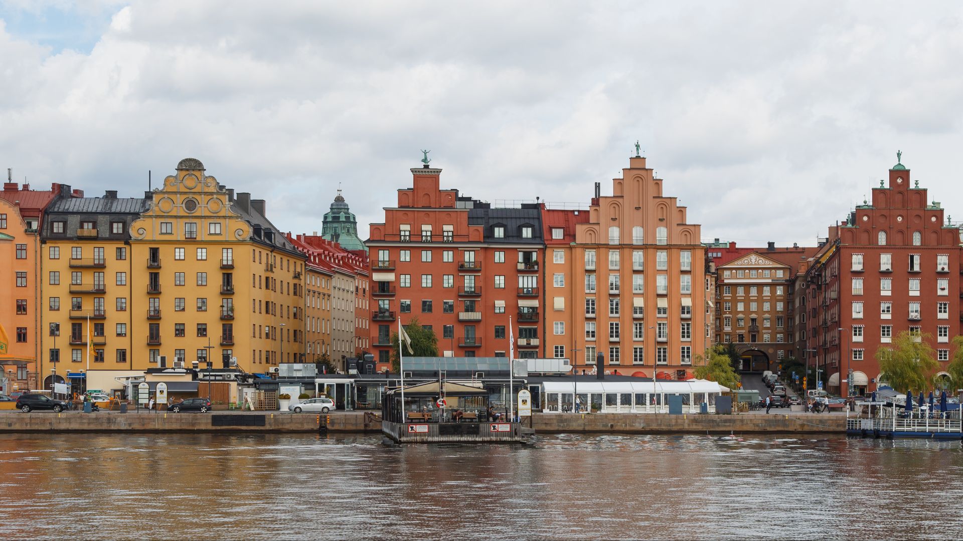
7. Stockholm, Sweden
Public transit in Stockholm is a model of clarity, allowing you to move easily between islands on ferries or the color-coded metro. Moreover, street names are consistent, English signage is widespread, and tourist centers even offer free tools to help you.
 CEphoto, Uwe Aranas on Wikimedia
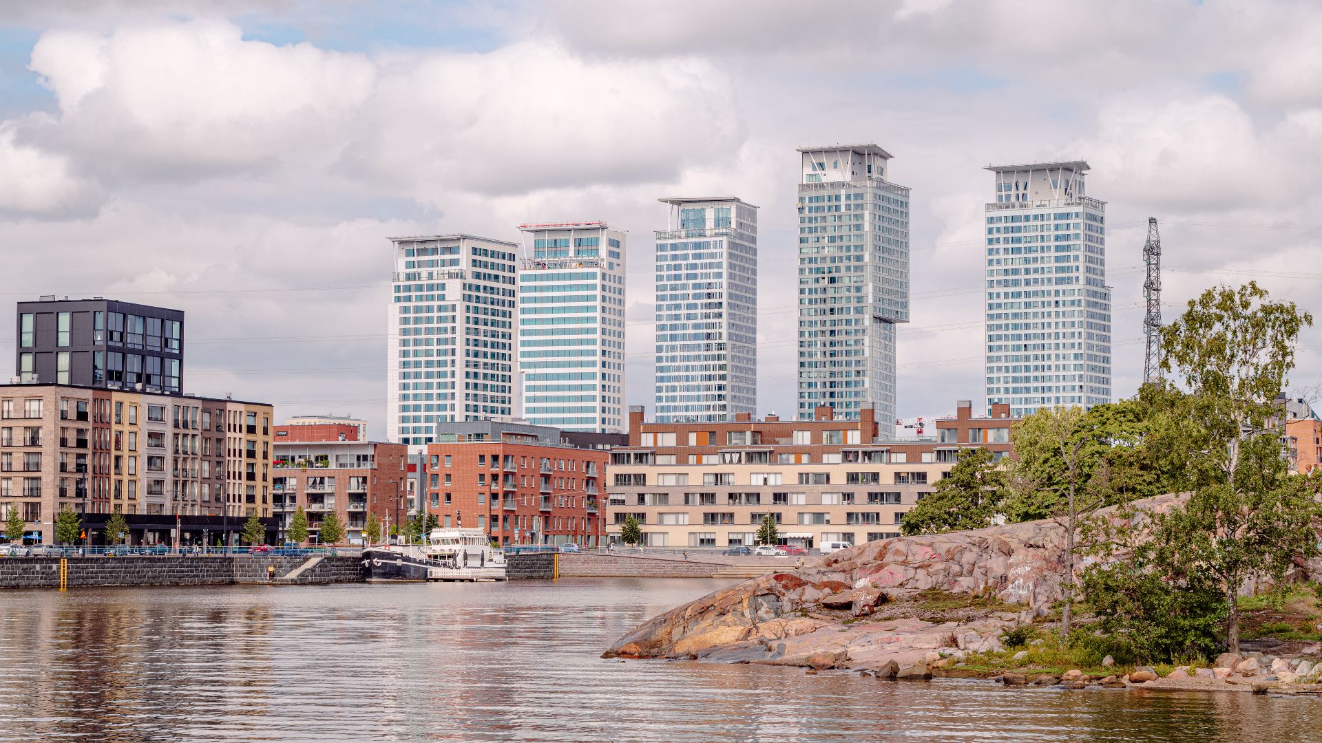
8. Helsinki, Finland
A logical grid pattern makes Helsinki's streets simple to explore, especially within the pedestrian-friendly city center. Its public transit is also comprehensive, which features trams and ferries that you can track in real-time with an app.
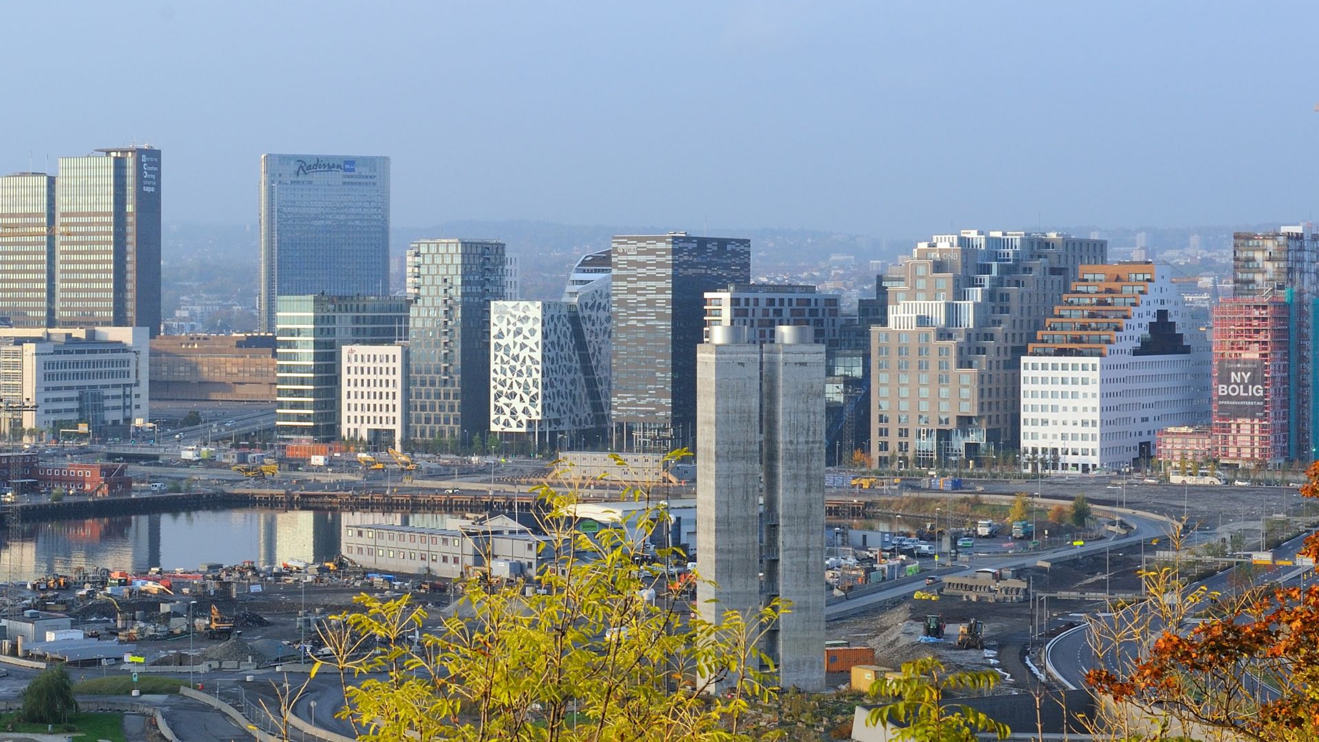
9. Oslo, Norway
You can have a stress-free experience in Oslo because its compact layout makes walking a pleasant and practical option. Should you need it, the metro and tram systems are exceptionally easy to use with logical and well-marked streets and detailed maps.
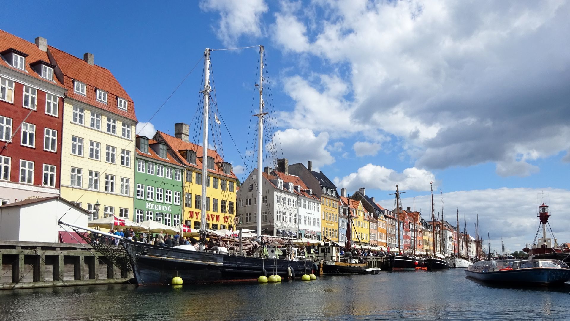
10. Copenhagen, Denmark
With its flat terrain, Copenhagen is a paradise for walkers and cyclists, who can use over 400 kilometers of bike lanes. If you prefer public transit, the driverless metro runs 24/7 and is supplemented by efficient harbor buses.