
There's something unsettling about how much we can see from space now. Commercial satellites circle overhead constantly, capturing everything from troop movements to the construction of military installations. Unlike classified government imagery from decades past, much of this data is available to anyone willing to pay for it. Satellite imagery allows analysts to identify infrastructure damage, troop movements, terrain changes, and illicit activities with high precision, transforming how we monitor global conflict.
Since 2022, both Russia and Ukraine have effectively used satellite imagery, drones, and AI-driven predictive models to monitor troop movements, assess infrastructure damage, and adjust tactical responses. The places lighting up satellite analysts' screens right now tell us where the next crises might erupt—or where existing ones could spiral out of control.
India's Border Regions Are Getting Crowded
India's tense border relationships demand constant monitoring for national security, with near-daily data capture and high-resolution imagery providing real-time intelligence. The Himalayas hide a lot, but not from synthetic aperture radar satellites that can see through clouds and darkness. China's been building infrastructure on its side of the disputed border for years, with helipads in suspiciously strategic locations, and troop barracks gradually expanding month by month.
What makes this particularly volatile is the water situation. Satellite imagery shows China has been constructing a mega dam in Tibet, worrying downriver nations like India and Nepal. When upstream countries control water flow, downstream populations get nervous. Satellite data goes beyond revealing military buildups to reveal the resource tensions that make conflicts more likely.
The South China Sea Keeps Getting More Militarized

The construction and militarization of artificial islands by China was extensively documented by commercial satellite photos over the last decade, exposing airstrips and missile installations. Monthly satellite passes show new radar installations, aircraft shelters, and what look suspiciously like anti-ship missile batteries. Each island functions as an unsinkable aircraft carrier, extending China's military reach hundreds of miles from its coast.
The contested waters around Taiwan show similar trends. Satellite tracking of Chinese naval exercises reveals increasing complexity and frequency. Whether this is preparation for eventual action or just an expensive way to send political messages, nobody wants to guess wrong. The Philippines, Vietnam, and other claimants to various rocks and reefs in the area are watching the same satellite feeds everyone else is, drawing their own conclusions about how much longer until conflict breaks out into the open.
Eastern Europe's Troop Movements Tell an Uncomfortable Story
The Ukraine war proved that satellite imagery can't be ignored anymore. Commercial satellites provide near-persistent high-resolution imagery allowing analysts to document troop movements and buildups in detail. Russia learned this the hard way when its pre-invasion buildup was visible to anyone with an internet connection and access to commercial satellite feeds, costing them the element of surprise.
While insight into capabilities is often plentiful, insight into intentions can be sparse. What's concerning for 2025 is that the patterns visible in satellite data suggest neither side is preparing to deescalate. Storage facilities keep getting restocked. Training areas show ongoing activity. The industrial base supporting the war effort remains fully engaged, visible in thermal imaging of factories running multiple shifts.
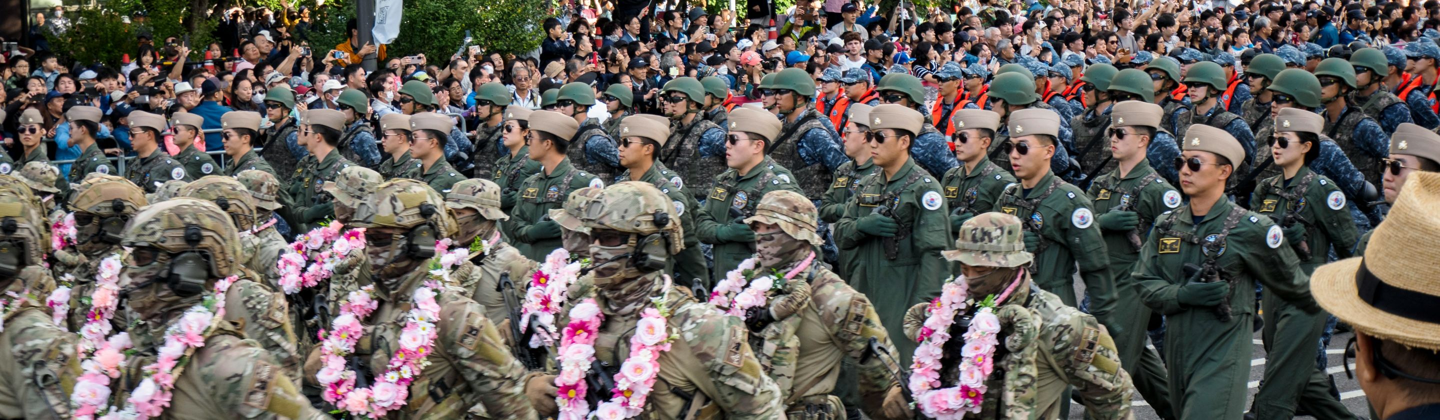
The Korean Peninsula's Satellite Game Has Changed

Satellite images show North Korea's apparent troop movements to Russia, with plans to send around 12,000 troops to support its efforts in Ukraine, connecting theaters of conflict in ways that complicate everyone's strategic calculations. North Korea getting combat experience and potentially Russian military technology changes the calculus on the peninsula.
South Korea deployed its first military surveillance satellite in December 2023 as part of a planned five-satellite constellation to achieve independent intelligence capabilities, reducing reliance on U.S. imagery. Both Koreas are investing heavily in space-based surveillance, creating what amounts to a regional space race where everyone's watching everyone else continuously. The South wants to monitor the North's missile sites and military installations 24/7. The North wants to track U.S. and South Korean forces and intimidate adversaries.
The Sahel Region Is Collapsing in Slow Motion
This one doesn't make headlines the way Ukraine or Taiwan does, but satellite monitoring of the Sahel shows a region in serious trouble. The escalating chaos across the Sahel region is one of several crises challenging governments and organizations. Imagery reveals expanding zones controlled by various armed groups, displacement camps that keep growing, and agricultural land going fallow as populations flee.
What satellite data shows particularly well is the environmental component. Desertification is visible in multispectral imagery, with vegetation indexes declining year over year as the desert literally expands south. When you overlay that with data on conflict incidents, the correlation is unmistakable. Resource scarcity drives conflict, which drives displacement, which drives more resource scarcity. It's a feedback loop visible from space.