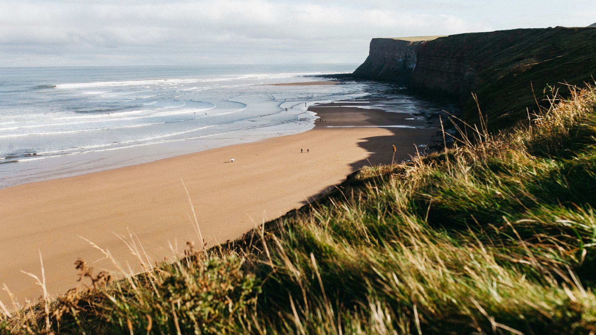
Where Geography Decided Who Rose, Ruled, and Disappeared
Empires like to tell stories about power as if it comes down to ambition, leadership, or sheer force of will. But once you zoom out, water keeps interrupting that version of events. Seas cut off supply lines, wreck fleets, and turn expansion into overreach, while rivers gather people, trade, borders, and political power in ways that can last for centuries. Some bodies of water undid imperial plans by making movement too dangerous, too expensive, or too fragile to sustain, while others created the conditions for law, agriculture, taxation, and territorial control long after the rulers themselves were gone. Here are 10 seas that swallowed empires, and 10 rivers that drew the world’s rules.
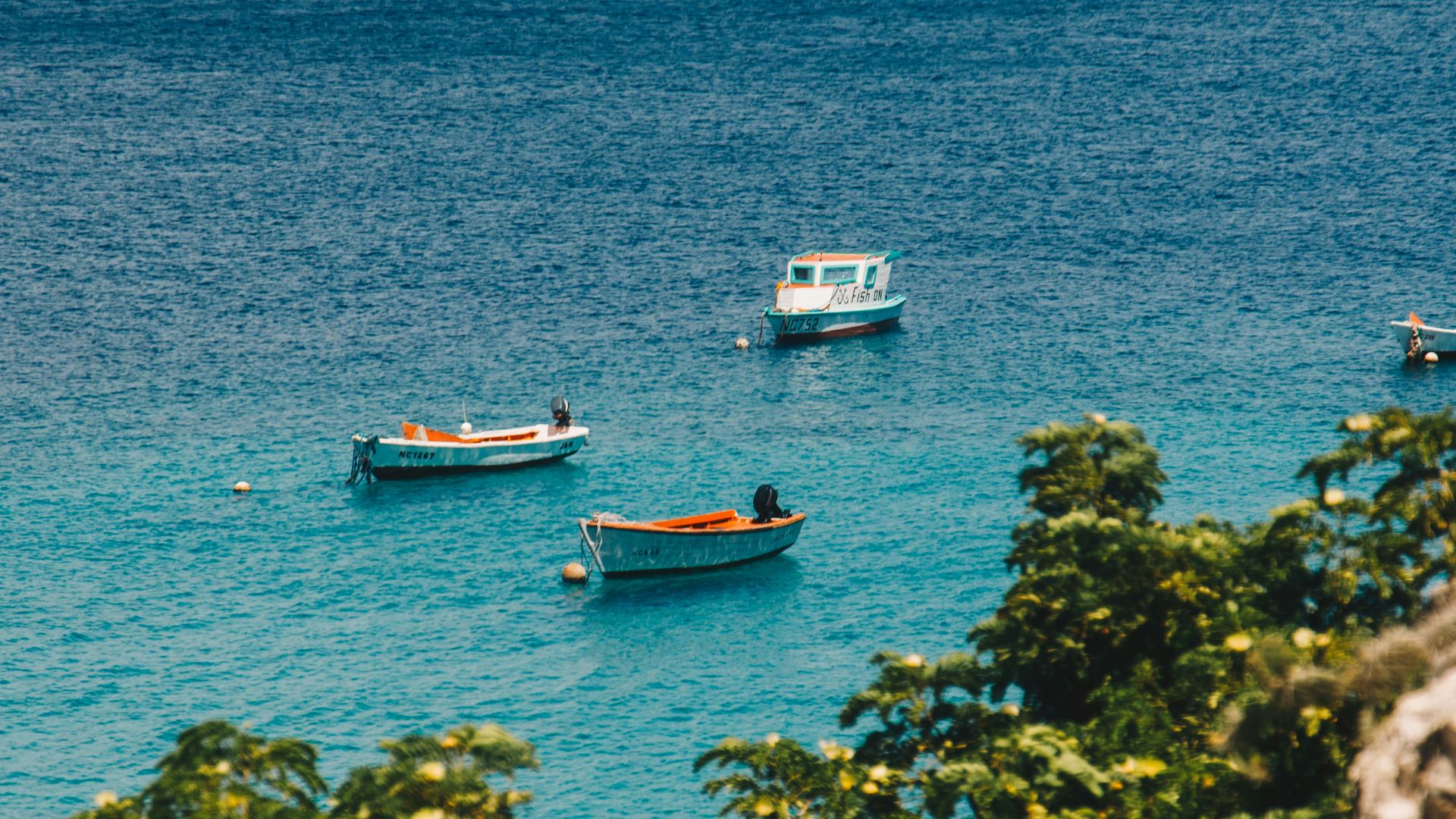
1. The Mediterranean Sea
The Mediterranean made empires possible, then made them vulnerable in exactly the same breath. It connected Rome, Carthage, Byzantium, and later maritime powers, but that same open network meant whoever lost control of its lanes could feel the whole imperial body weaken at once. It was a highway until it became a fracture line.

2. The Aegean Sea
The Aegean looked navigable enough to encourage expansion, but it punished miscalculation constantly. Persian ambitions, Athenian overreach, and later regional rivalries all ran into its island geography, shifting winds, and naval complexity. It helped build power, but it also had a habit of breaking anyone who assumed it could be mastered too easily.
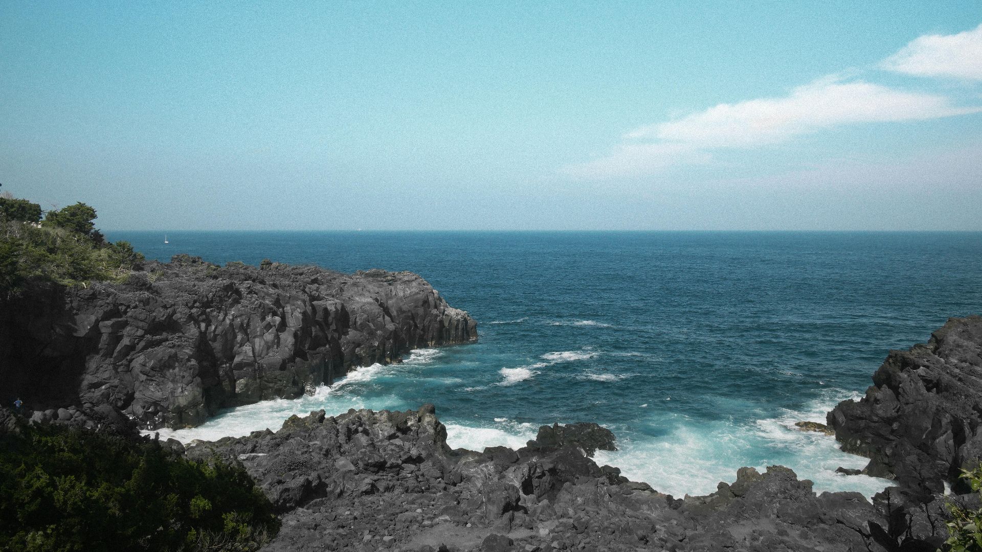
3. The Black Sea
For empires pushing north, east, or inland, the Black Sea always looked like an opening. In practice, it became a zone of exposure, where trade, military access, and frontier politics collided in ways that repeatedly destabilized larger imperial projects. Control over it never stayed simple for long.
4. The North Sea
The North Sea swallowed certainty more than territory. It empowered maritime kingdoms and commercial empires, but it also wrecked fleets, disrupted trade, and made naval dominance feel temporary even at its peak. States that depended on it could grow rich fast and become vulnerable just as quickly.
5. The Baltic Sea
The Baltic gave northern powers access to trade, timber, grain, and naval movement, but it also trapped them in constant strategic competition. Swedish expansion, Hanseatic influence, Russian ambition, and German power all converged there, often with the same logic: control the sea, or be boxed in by it. For more than one empire, that contest became unsustainable.
6. The Red Sea
The Red Sea has always looked smaller on the map than it feels in history. It offered access between the Mediterranean world and the Indian Ocean, but any empire depending on it had to manage chokepoints, rival ports, and fragile supply chains under intense pressure. It rewarded reach, then punished overextension.

7. The Arabian Sea
The Arabian Sea made imperial trade routes possible across East Africa, Arabia, India, and beyond. But once states began to depend on those routes, they also inherited monsoon timing, naval rivalry, and the constant risk that maritime wealth would outpace political control. It created fortunes that were often harder to hold than to seize.
8. The South China Sea
The South China Sea has long been less a boundary than a contested field of movement. Dynasties, colonial powers, and modern states have all tried to turn it into secure space, only to run into the same problem: its value is exactly what makes control so unstable. It draws empires outward, then exposes the limits of what they can enforce.
9. The Caribbean Sea
The Caribbean made colonial empires rich and paranoid at the same time. Sugar, shipping, piracy, slavery, and naval warfare all converged there, turning it into one of the most profitable and violent maritime zones on earth. For European powers, it was a source of wealth that constantly threatened to become a source of imperial unraveling.
10. The Sea of Japan
The Sea of Japan insulated power and invited expansion in equal measure. It protected, connected, and constrained, shaping how states in East Asia imagined both defense and projection. For imperial ambitions built on naval movement, it was never just a buffer—it was the test of whether geography would cooperate.
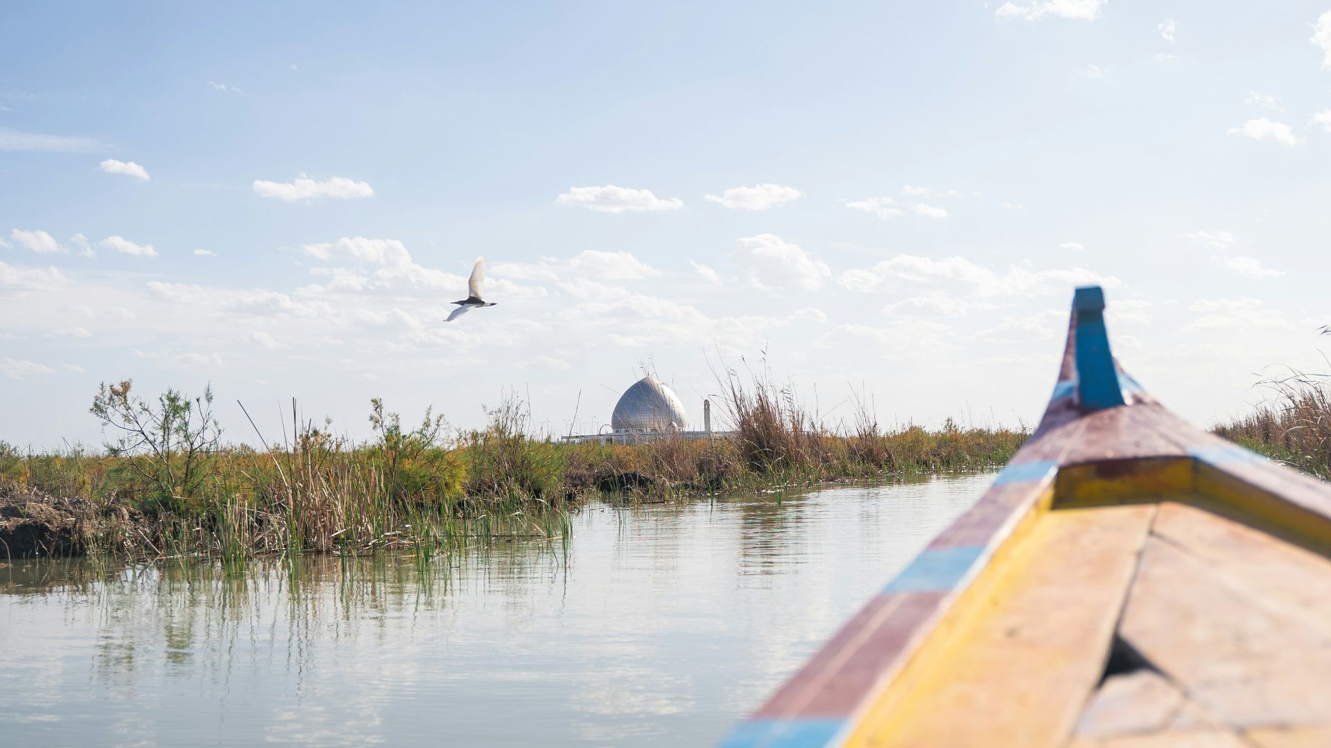
A different kind of water shaped the world more quietly, but often more permanently. Here are ten rivers that also impacted the world.
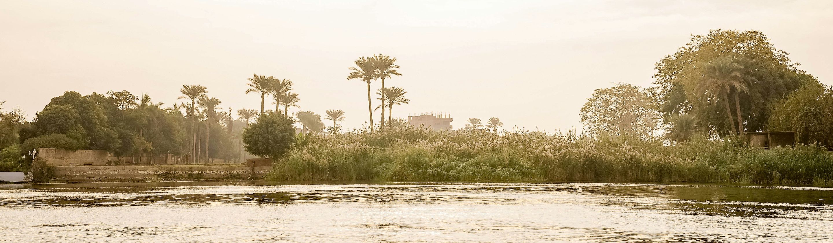
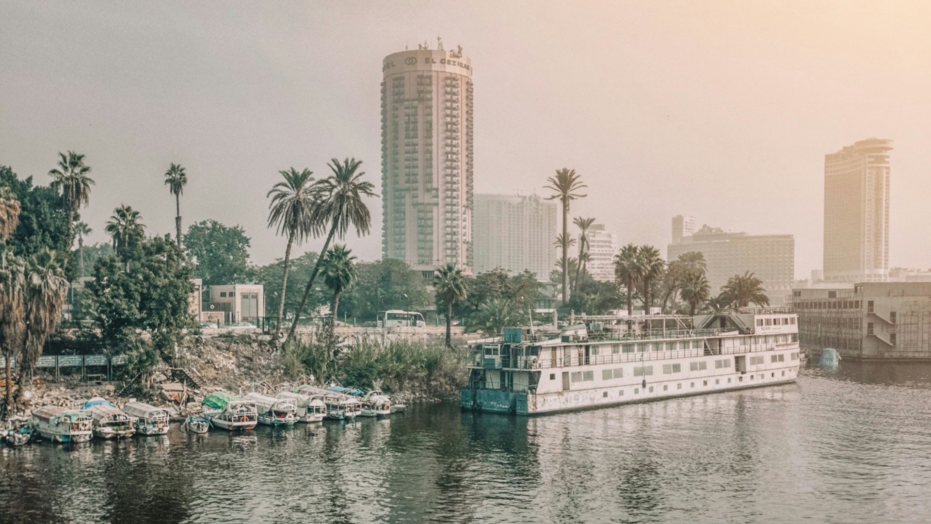
1. The Nile
The Nile did not just support civilization; it trained rulers to think in terms of seasonal order, centralized management, and predictable wealth. Its flood cycle made agriculture legible enough for administration, taxation, and state power to harden early. It drew not just settlements, but an entire political logic.
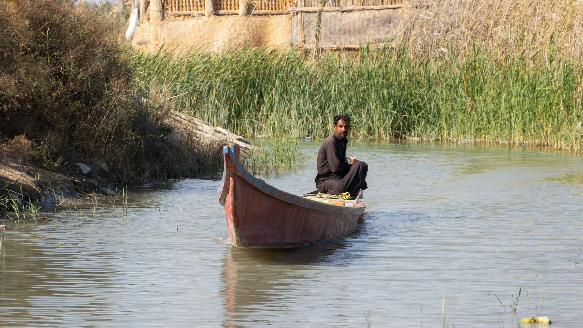
2. The Tigris
The Tigris helped create a world where irrigation, recordkeeping, and territorial rule had to become precise. It was less forgiving than the Nile, which meant power had to organize itself more aggressively around control of land and water. That pressure helped shape some of the earliest state structures on earth.
3. The Euphrates
Running alongside the Tigris in both cooperation and tension, the Euphrates helped define Mesopotamia as a political rather than just geographic space. Cities rose because river control meant food, labor, and leverage. The rules of the region were written through channels, embankments, and the constant work of keeping water useful.
4. The Indus
The Indus anchored one of the world’s earliest urban civilizations, giving coherence to trade, agriculture, and settlement across a broad landscape. Its rhythms shaped where cities could form and how far systems of exchange could reach. Long before modern borders, it was already drawing the outline of a world.
5. The Yellow River
The Yellow River made Chinese statecraft inseparable from flood control and large-scale coordination. It gave life, but it also forced rulers to treat infrastructure as a matter of legitimacy. Political authority here was never just about conquest—it was about proving you could keep the river from rewriting the map.

6. The Yangtze
If the Yellow River helped define political responsibility, the Yangtze expanded the scale of what that responsibility could support. It connected agricultural abundance, internal trade, and regional integration on a level that made imperial consolidation more durable. It was not just a river through territory; it was a structure for holding territory together.

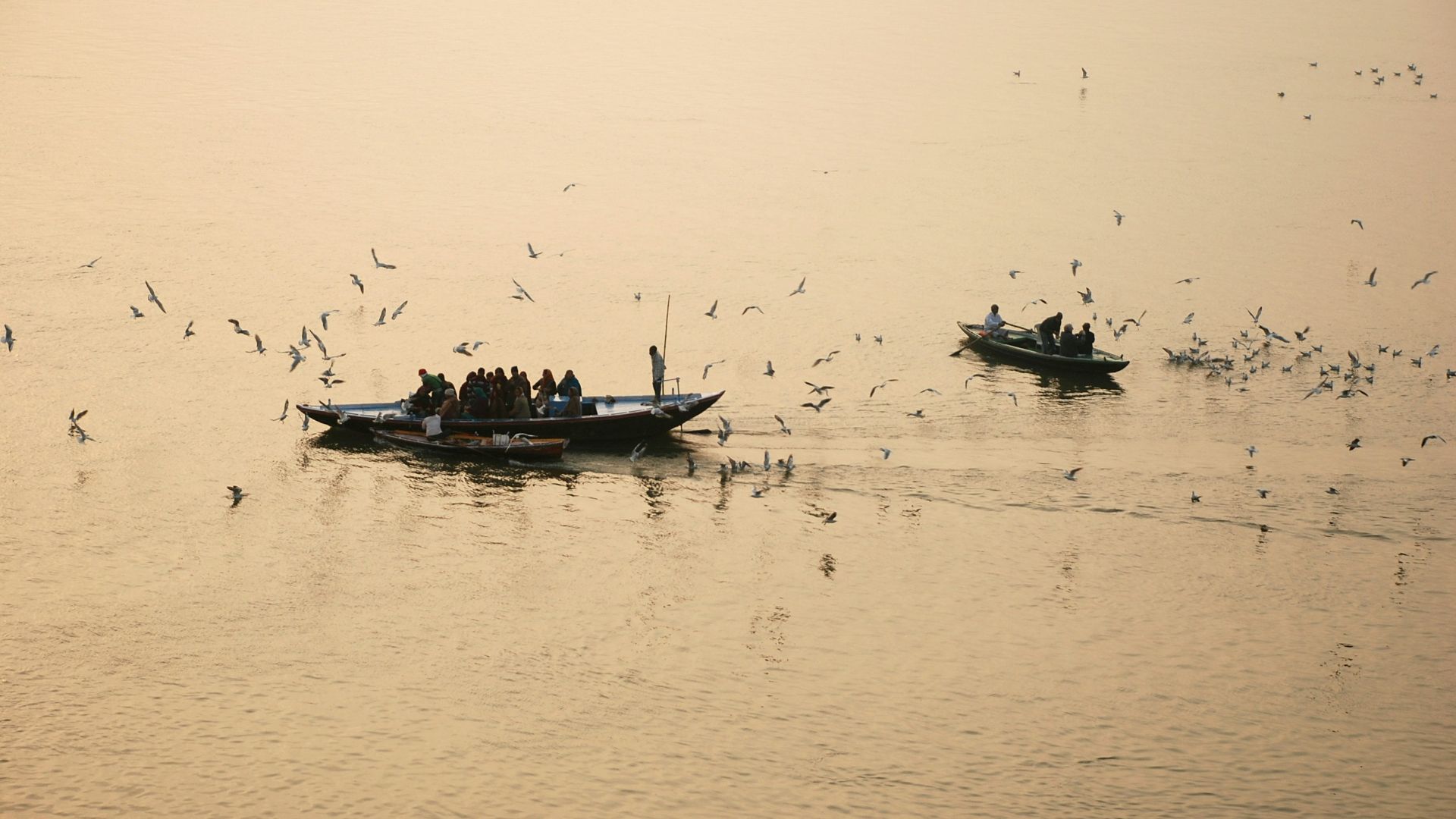
7. The Ganges
The Ganges shaped settlement, farming, pilgrimage, and political imagination all at once. It made dense populations possible, but it also turned geography into a cultural field that rulers had to work within rather than simply dominate. The river drew rules that were administrative and spiritual at the same time.
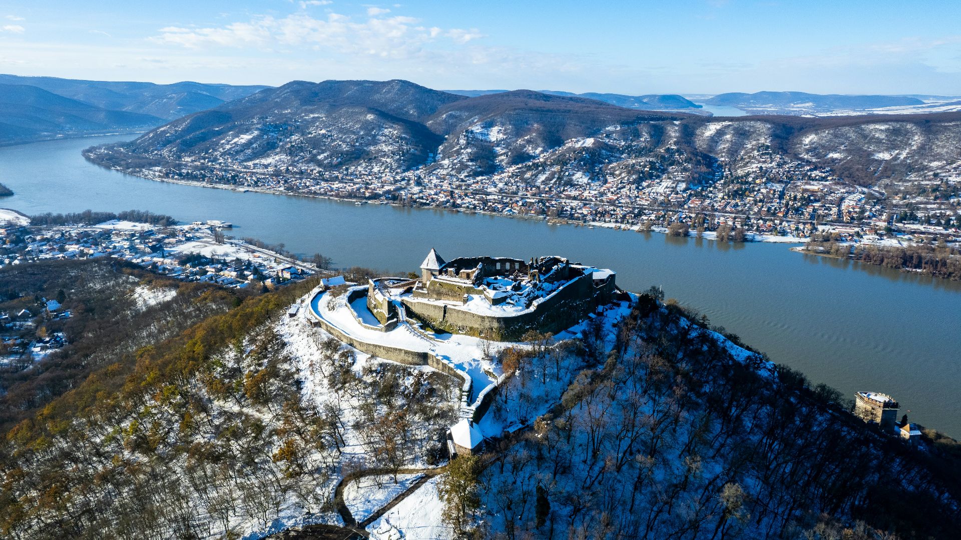
8. The Danube
The Danube has spent centuries functioning as both road and border, and that double role gave it unusual power over Europe’s political shape. Empires expanded along it, defended against it, and negotiated because of it. Few rivers have done more to make frontiers feel both natural and contested.
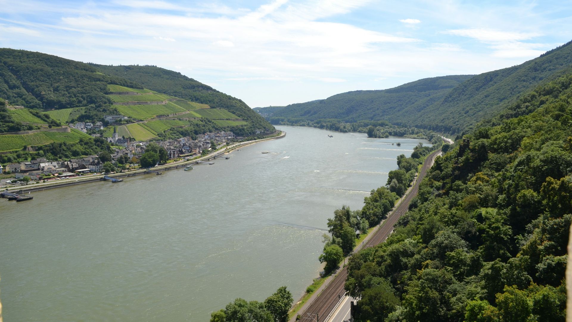
9. The Rhine
The Rhine became one of Europe’s great lines of order because it kept getting used that way. Roman strategy, medieval commerce, and modern state borders all treated it as something more than water, a corridor that could also become a limit. It helped make the idea of a defensible Europe feel concrete.
10. The Mississippi
The Mississippi drew the rules of North America by turning the continent inward. Control of it meant trade, movement, military depth, and eventually national coherence on a scale that was hard to rival. It was not only a river running through territory—it was one of the reasons that territory could become a single political project at all.