
Lines On Maps, Glitches In Real Life
Borders seem straightforward until you see the ones that aren’t. In real life, they can split neighborhoods, run through buildings, or leave small pieces of one country completely surrounded by another. Many of these strange setups come from old treaties, colonial-era decisions, or messy compromises that never got fully fixed, and people still live with the outcome. On the ground, it can feel totally normal until you notice the sudden change in signs, flags, laws, or even which country an address belongs to. Here are 20 border oddities that don’t feel real.
 commons.wikimedia.org on Google
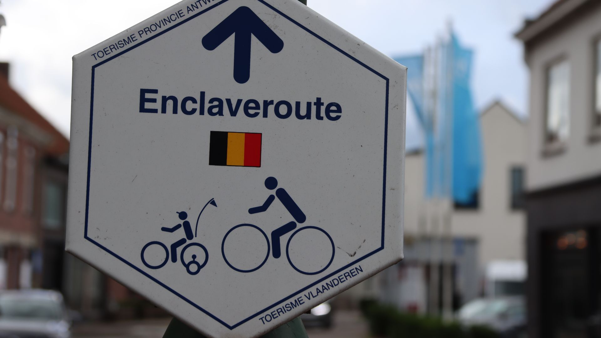
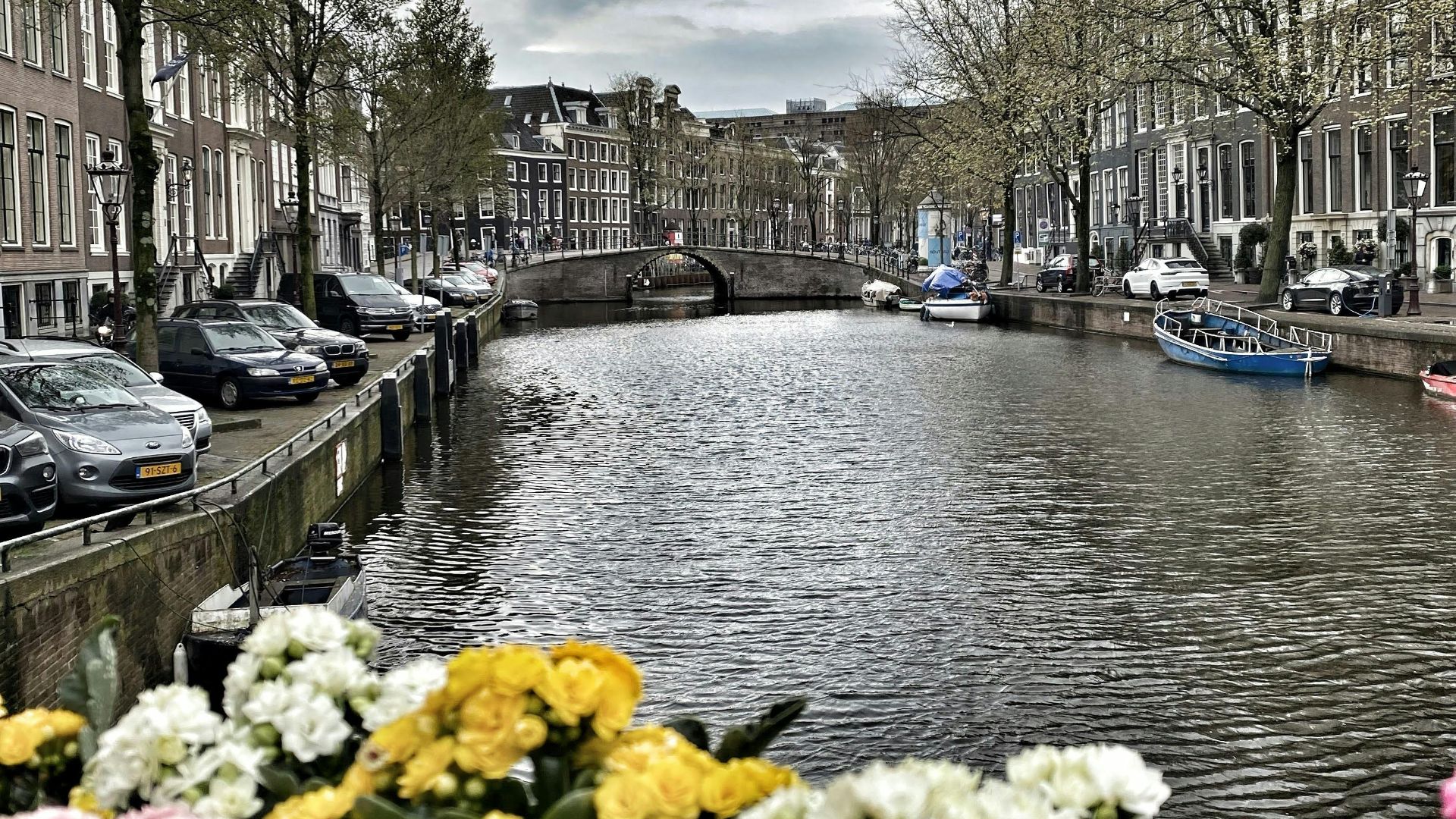
1. Baarle-Hertog And Baarle-Nassau
This Belgian-Dutch border puzzle is a stack of enclaves and counter-enclaves where the boundary runs through streets, sidewalks, and even buildings. Houses can have different country rules depending on which side the front door lands on. It’s a real town that behaves like a geography prank.
 commons.wikimedia.org on Google
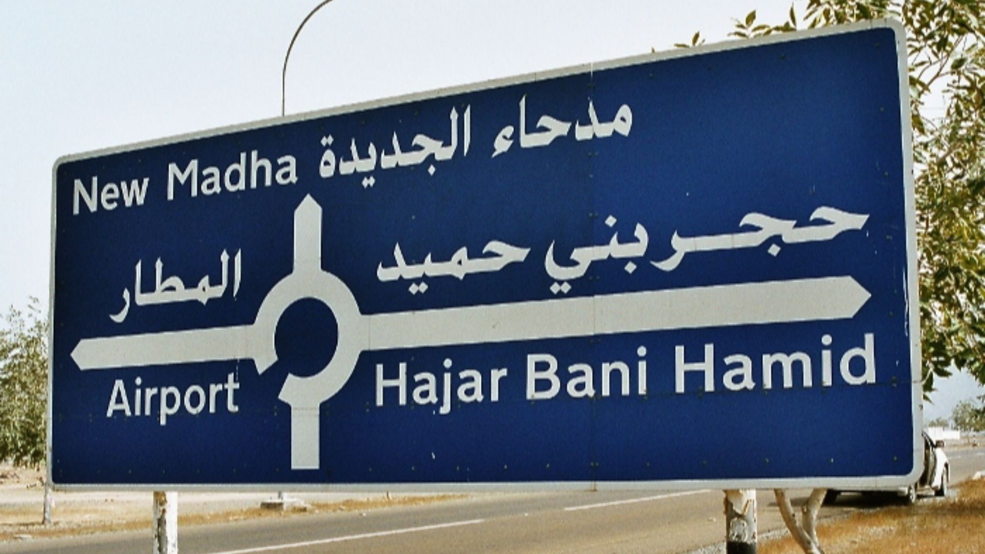
2. Nahwa Inside Madha Inside The UAE
There’s an Omani exclave called Madha inside the United Arab Emirates, and inside that is Nahwa, which belongs to the UAE. You can drive in and out of countries without leaving the same general neighborhood. It’s borders nested like Russian dolls.
 RoPa at English Wikipedia on Wikimedia
3. Point Roberts, Washington
Point Roberts is part of the United States, but it sits below Canada, so you usually have to drive through Canada to get there. That means grocery runs, school trips, and everyday errands can involve an international border crossing. It’s a normal town with an extremely abnormal commute.
 commons.wikimedia.org on Google
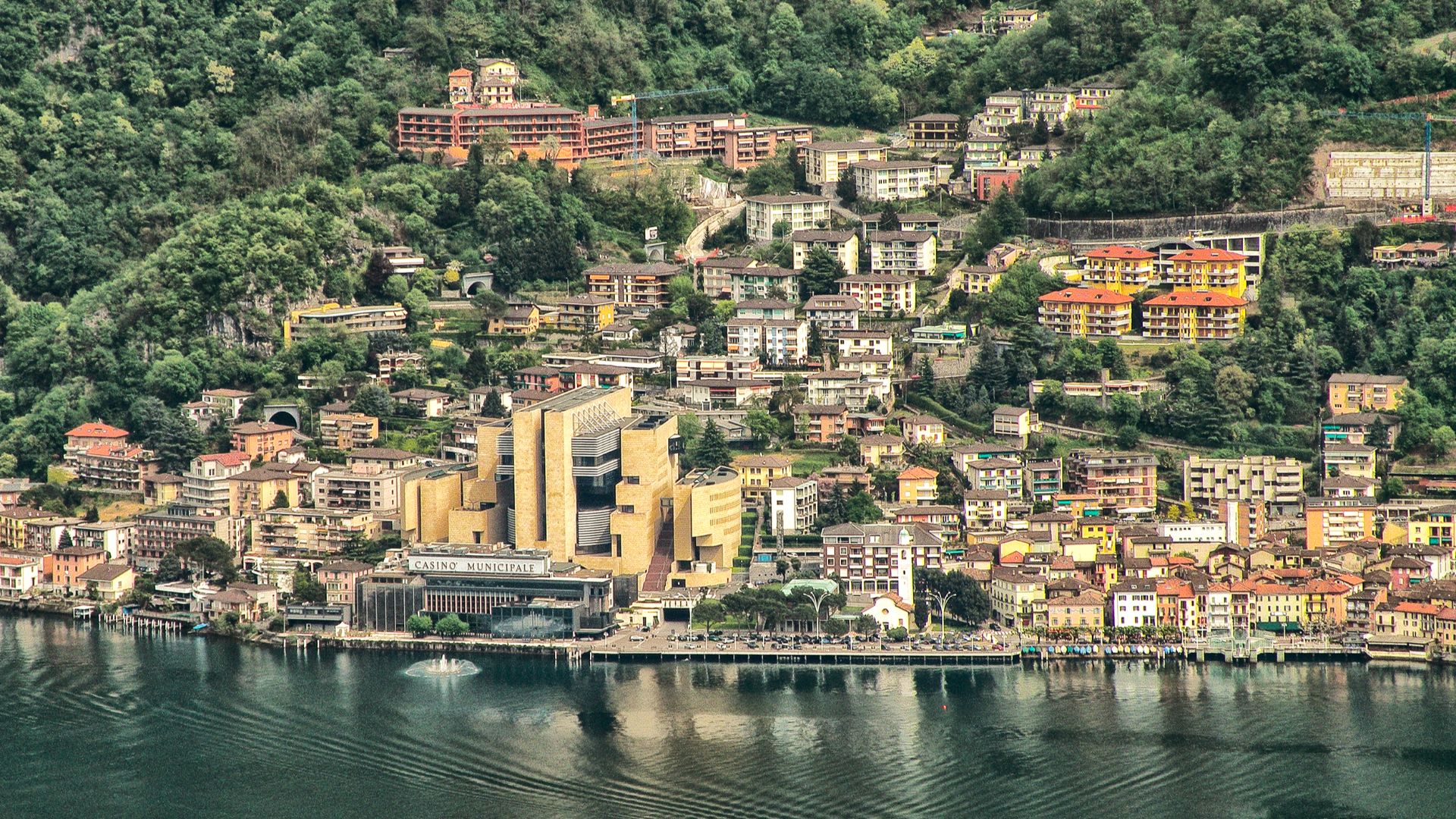
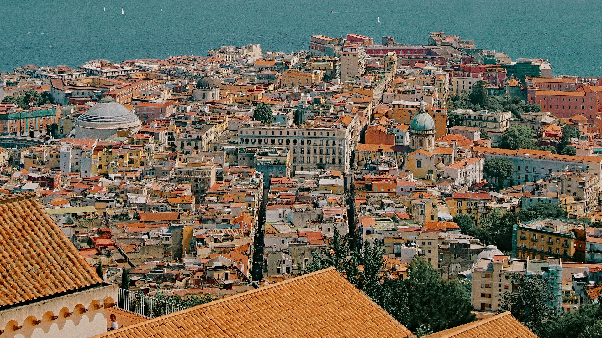
4. Campione d’Italia
This small Italian town is surrounded by Switzerland, even though it’s officially Italy. Daily life ends up shaped by Swiss proximity, from roads to services, even as the town’s national identity stays Italian. It’s Italy, but practically speaking, it lives in Switzerland’s backyard.
 commons.wikimedia.org on Google
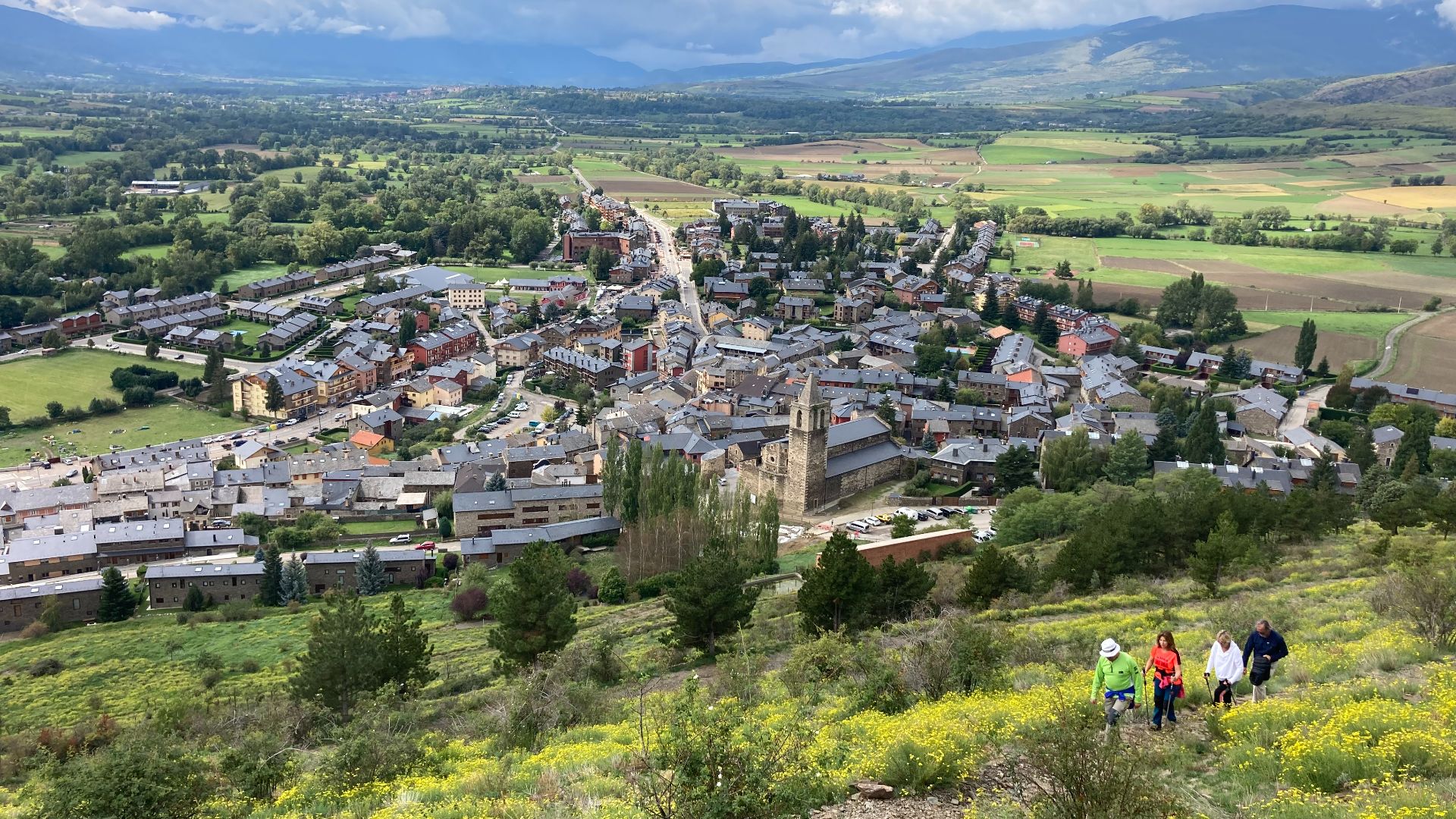
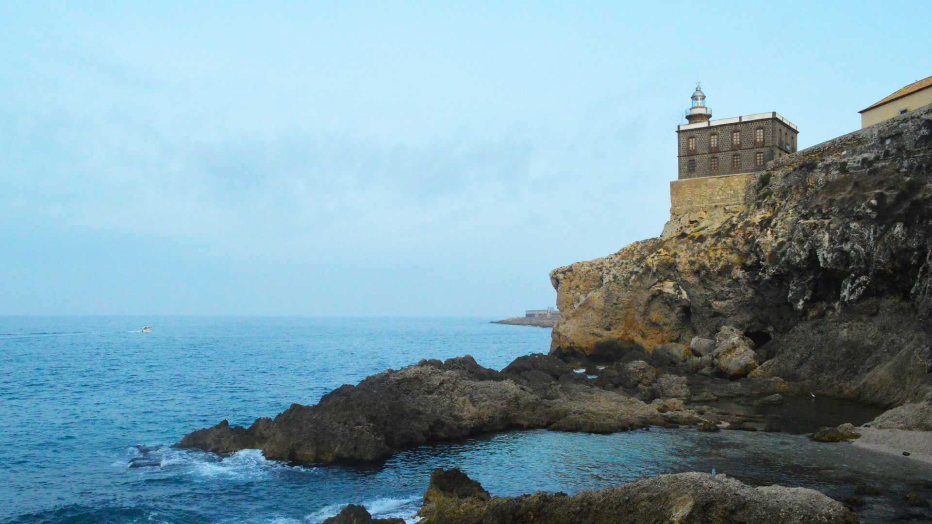
5. Llivia, Spain
Llivia is a Spanish town completely surrounded by France, an accidental artifact of old treaties. Spain connects it to the rest of Spain with a road that feels normal until you remember you’re driving through another country. It’s a Spanish island entirely on land.
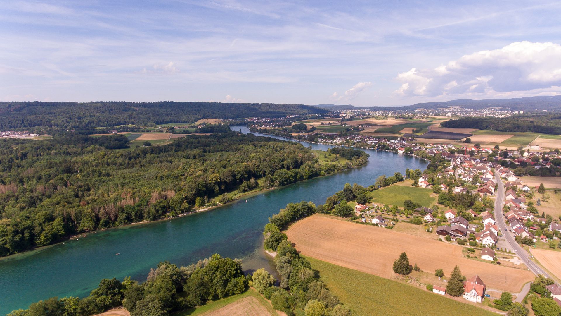
6. Büsingen Am Hochrhein
Büsingen is Germany, but it’s enclosed by Switzerland and closely integrated with Swiss daily life. You can be paying attention to German laws while using Swiss services and dealing with Swiss geography. It’s a reminder that citizenship and convenience don’t always match.
 Hansueli Krapf This file was uploaded with Commonist. on Wikimedia
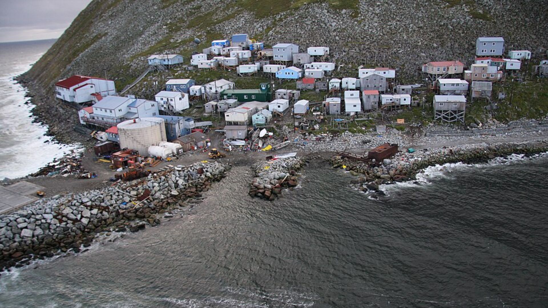
7. The Diomede Islands
Big Diomede is Russia, Little Diomede is the United States, and they sit only a few miles apart in the Bering Strait. The International Date Line runs between them, so you can look across the water and be nearly a day apart in time. It’s one of the few places where geopolitics and time zones feel physically visible.
 commons.wikimedia.org on Google
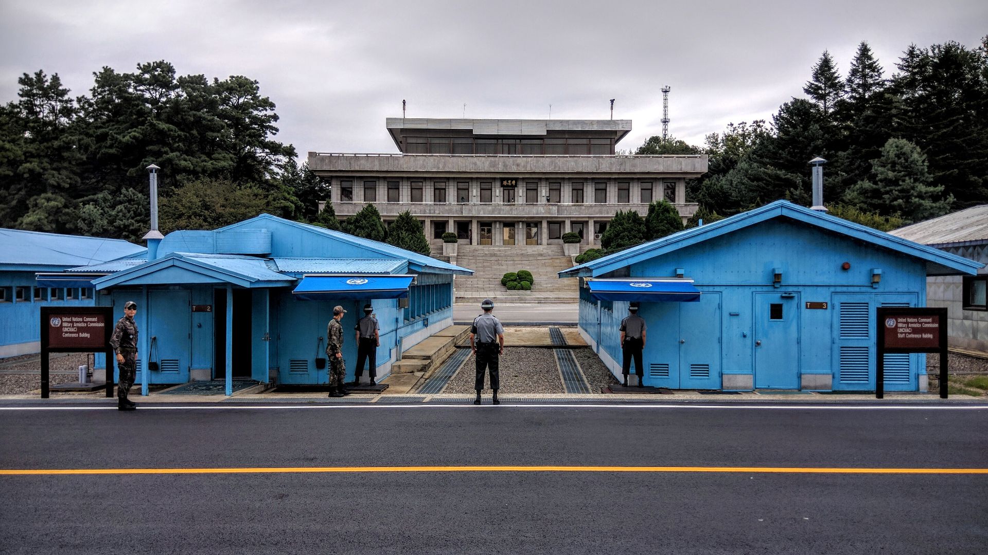
8. The Korean DMZ
The Demilitarized Zone between North and South Korea is one of the most fortified borders on Earth, but it’s also accidentally become a wildlife refuge because humans mostly can’t enter. You’ve got heavy surveillance and quiet ecosystems existing side by side. It’s a border that’s both hyper-controlled and strangely untouched.

9. The Spanish-Moroccan Border In Ceuta
Ceuta is a Spanish city on the North African coast, right next to Morocco. That creates a European Union border on the African continent, with major implications for movement, policing, and daily crossings. It’s a place where geography and politics collide in real time.
10. The Spanish-Moroccan Border In Melilla
Melilla is another Spanish city in North Africa, with a border that can feel more like a global fault line than a neighborhood edge. People live regular lives right beside one of the most watched boundaries in the region. The contrast between ordinary streets and high-stakes border pressure is jarring.
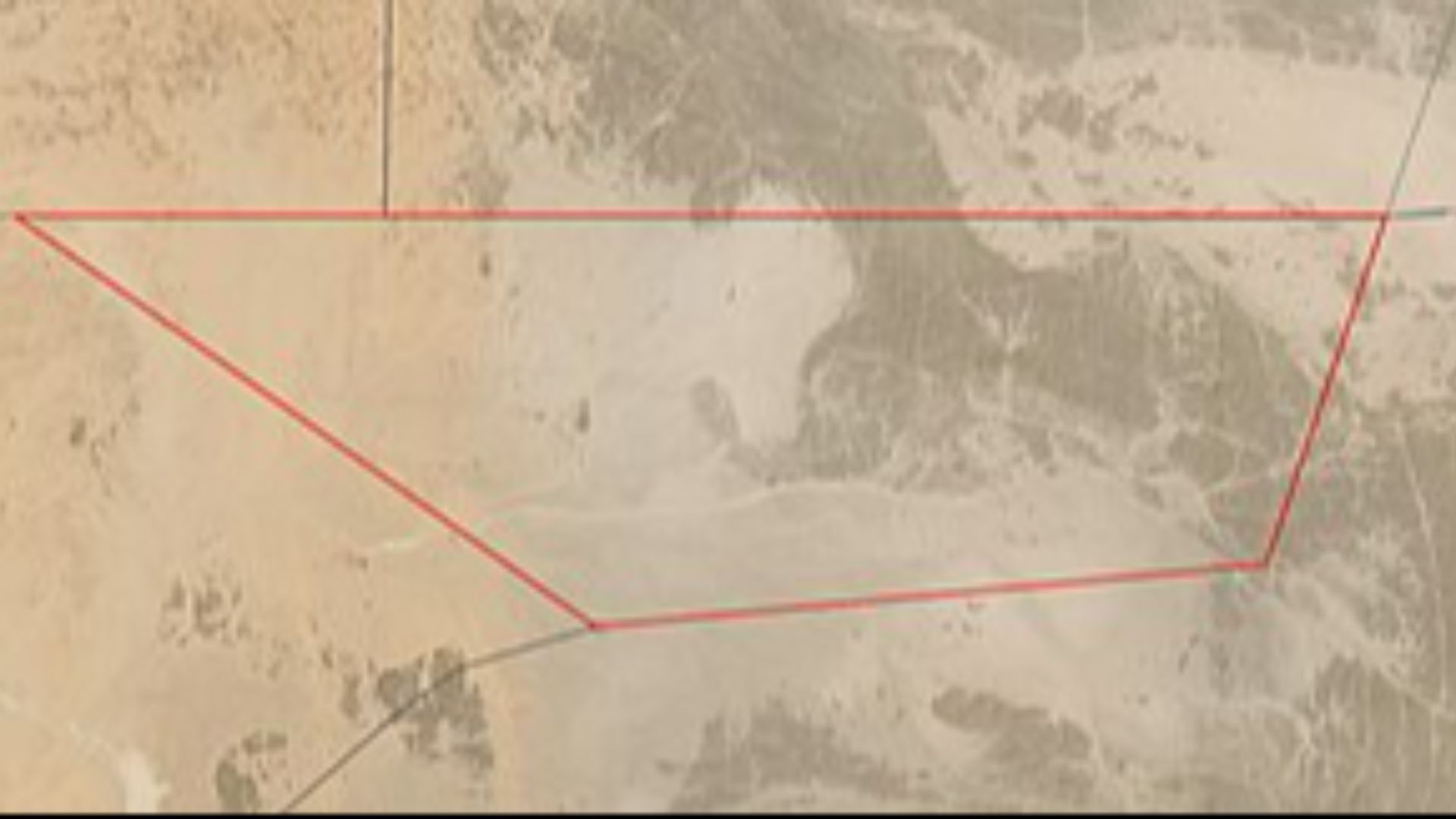
11. Bir Tawil
Bir Tawil is a patch of desert claimed by neither Egypt nor Sudan, because of a border dispute where each country prefers a different map. The result is a rare zone of land that’s basically unwanted on paper. It’s real territory that doesn’t neatly belong to anyone.
 commons.wikimedia.org on Google
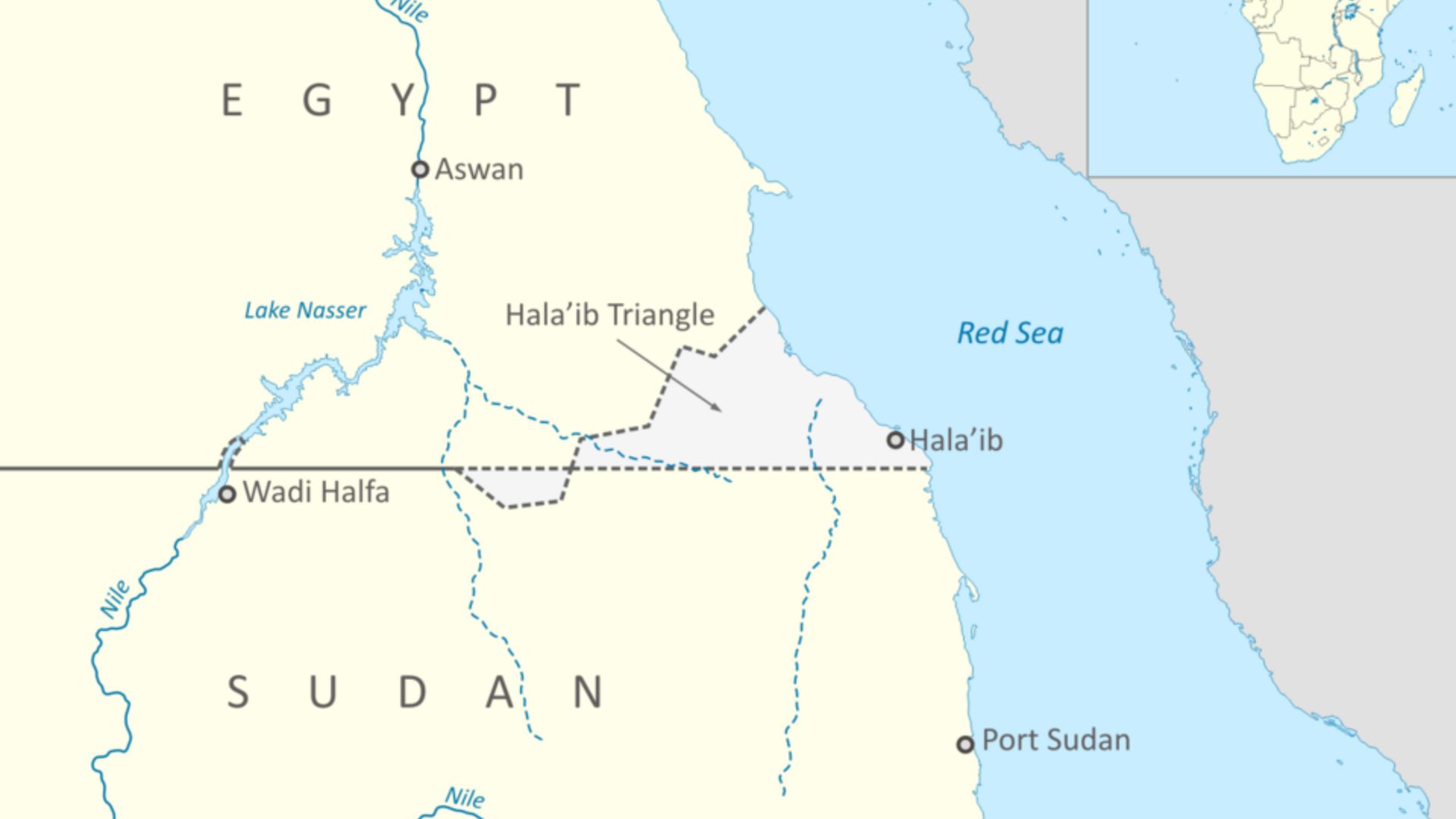
12. The Halaib Triangle
Right next to Bir Tawil is the Halaib Triangle, claimed by both Egypt and Sudan. The two areas are linked by a weird logic: claiming one border interpretation strengthens a claim to Halaib but weakens a claim to Bir Tawil, and vice versa. It’s a dispute shaped by old lines that still matter now.
13. Kaliningrad
Kaliningrad is Russia, but it’s separated from the rest of Russia by Lithuania and Poland. That makes it a geopolitical outlier with a different kind of border reality than most Russian regions. It’s a piece of one country living between others.
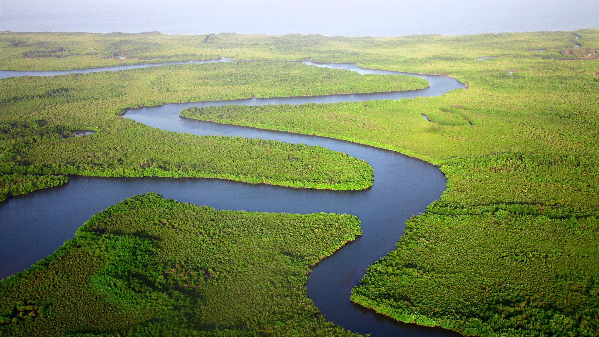
14. The Gambia’s Shape
The Gambia is famously long and narrow, stretching inland along a river and surrounded by Senegal on almost every side. On a map it looks like someone traced a waterway and stopped there. In real life, that shape affects everything from travel routes to national identity.
15. The Kazungula Near-Quadripoint
Near Kazungula, Botswana and Zambia share a very short border segment, close to where Namibia and Zimbabwe also meet. It’s one of those places where the map makes you squint because it looks like four countries touch at once. Even knowing the technical details, it still feels like a cartographic trick.
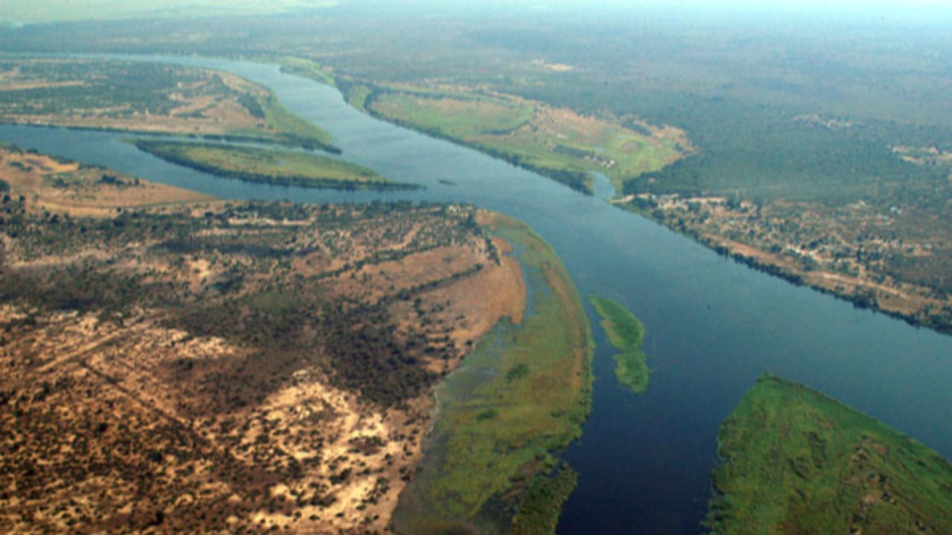
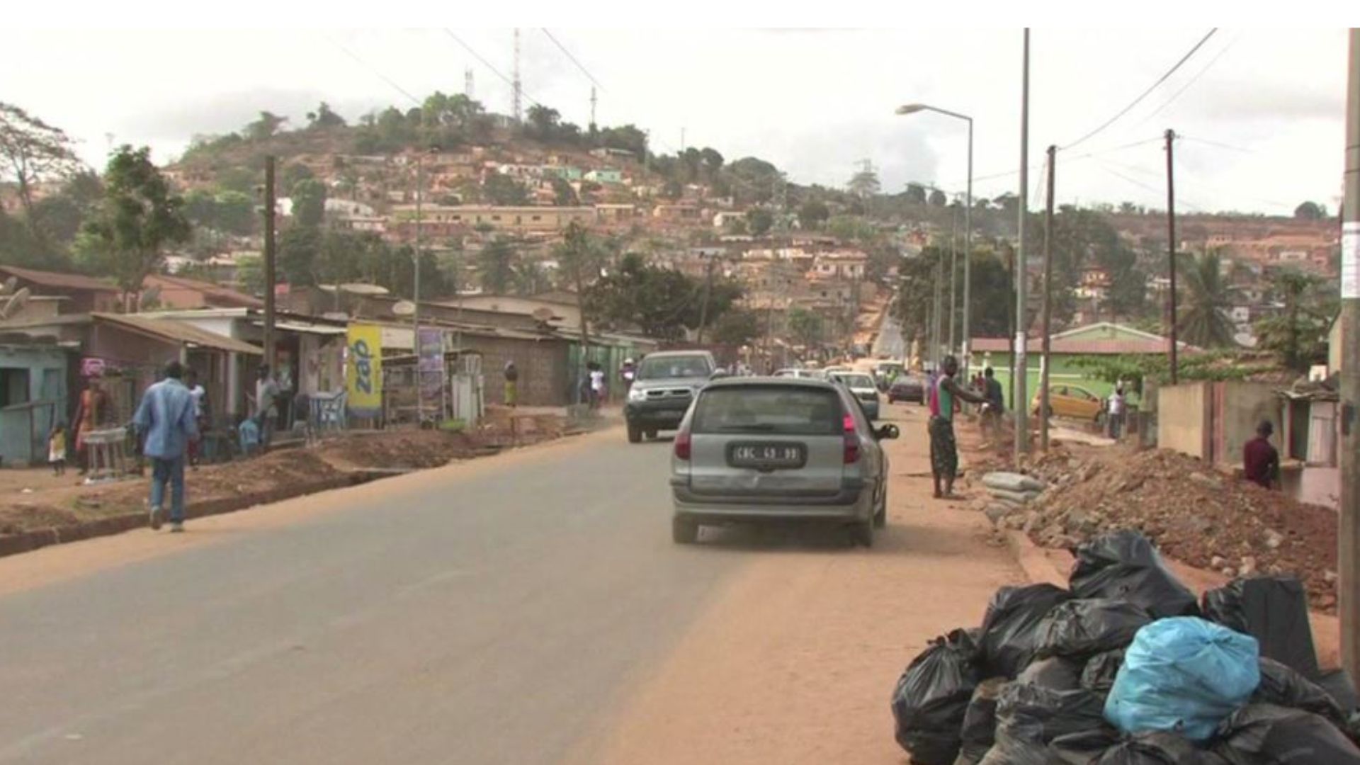
16. Cabinda
Cabinda belongs to Angola, but it’s separated from the rest of Angola by a strip of the Democratic Republic of the Congo. That means Angola has an exclave on the Atlantic coast with its own border dynamics. It’s a national fragment shaped by colonial-era decisions.
17. The Dutch-German Border That Slices Through Villages
In parts of Europe, borders were set with such fine detail that villages ended up divided in ways that don’t match daily life. Roads can switch countries without warning, and the “other side” might be the neighbor’s driveway. It makes the idea of a clean national line feel fictional.
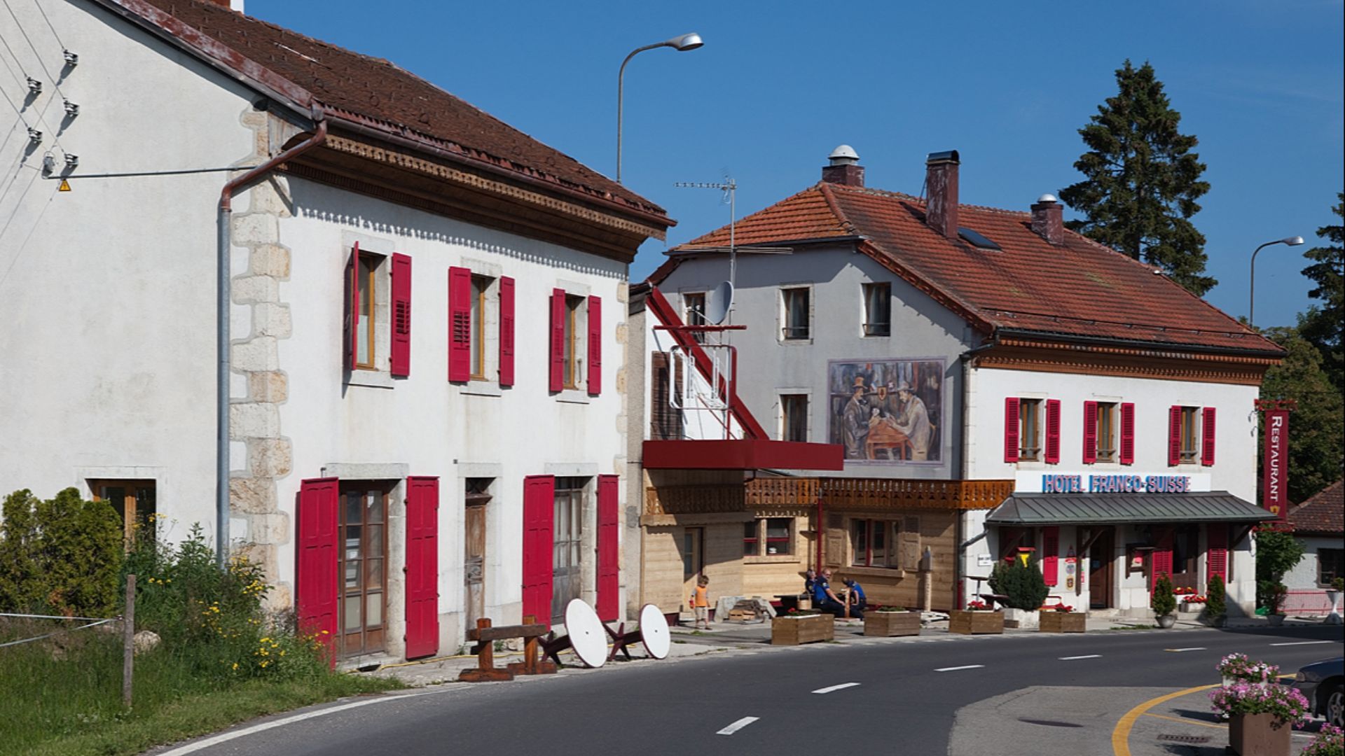
18. Hotel Arbez, France And Switzerland
At Hotel Arbez in La Cure, the France–Switzerland border runs right through the building, so different rooms and hallways technically sit in different countries. It’s not just trivia: it can affect which laws apply, how the property is addressed, and which side handles certain issues. The building doesn’t move, but crossing a doorway can still mean crossing a border.
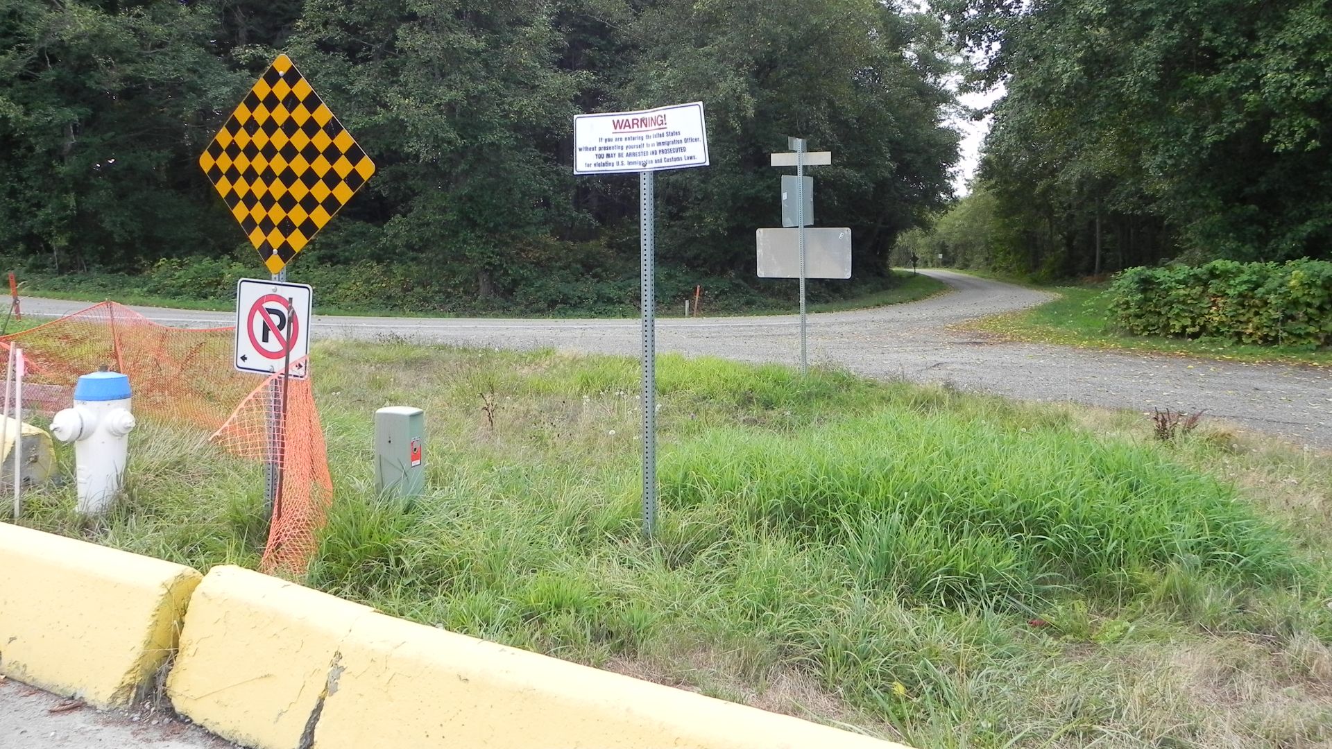
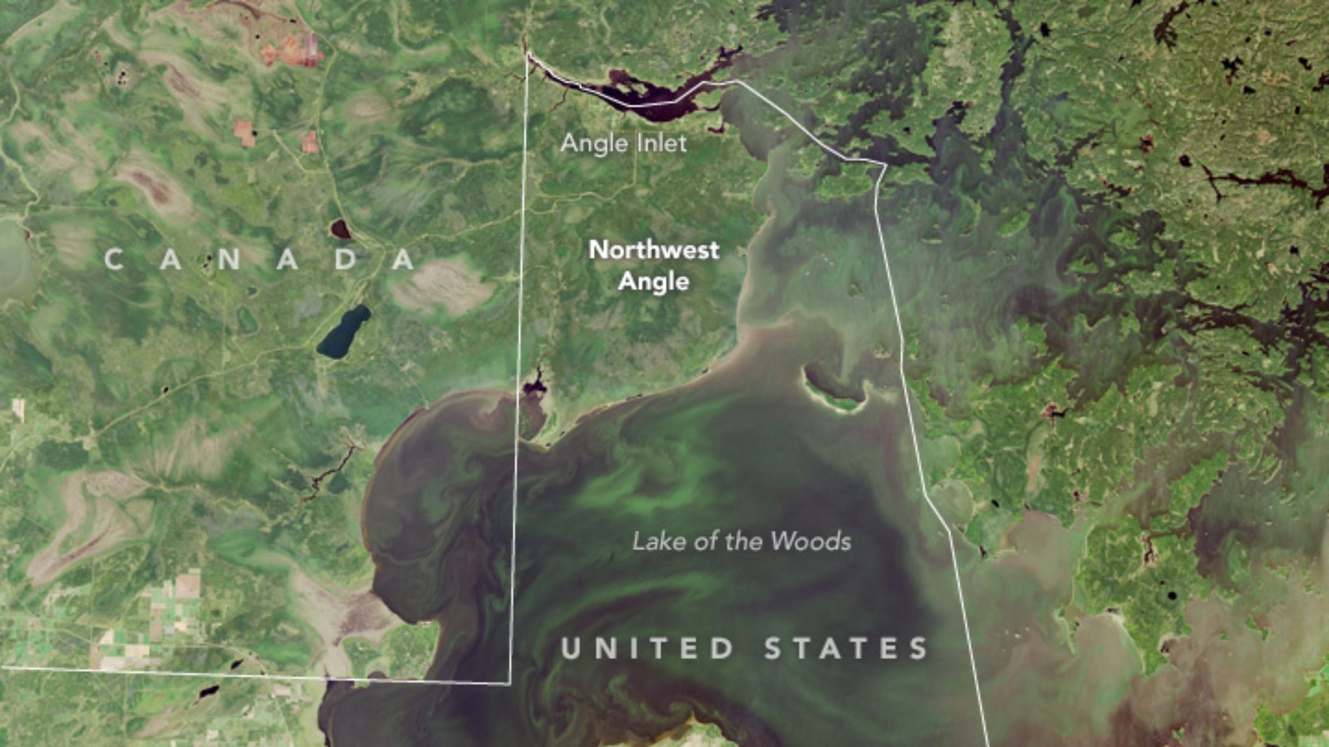
19. The US-Canada Northwest Angle
The Northwest Angle in Minnesota is part of the United States, but it’s separated from the rest of Minnesota by Canada and Lake of the Woods. You can drive to it, but you’ll cross into Canada to do it unless you arrive by water. It’s a reminder that one surveying decision can echo for centuries.
 Operational Land Imager (OLI) on Landsat 8 on Wikimedia
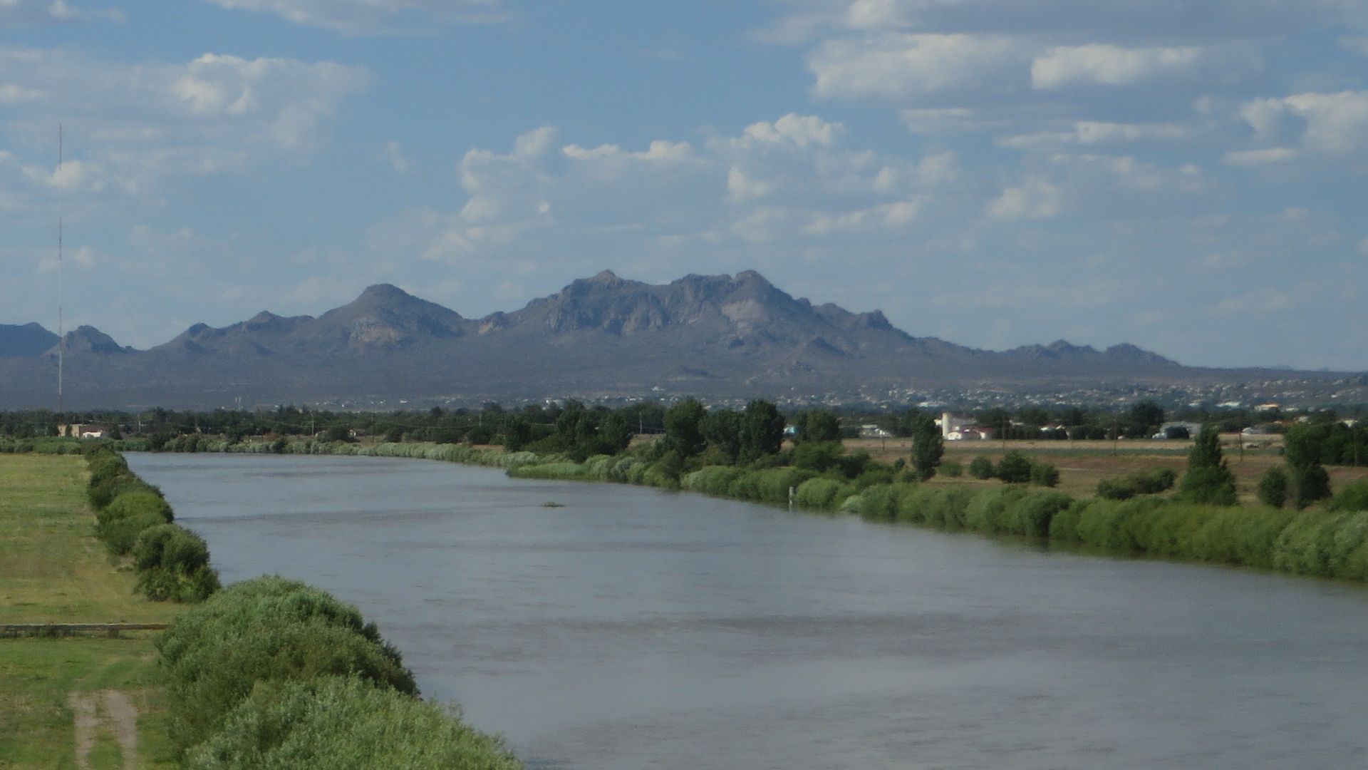
20. The Rio Grande Shifts, US And Mexico
In 1906, a cutoff channel was dug that redirected the Rio Grande, leaving a finger of land that was legally U.S. territory but ended up physically on the Mexico side of the river. A community grew there, and for decades it functioned as Mexico in everyday life until the 1970 Boundary Treaty resolved it and the land was formally transferred to Mexico.


_Joint_Security_Area_(JSA)_Looking_Into_North_Korea_(28819154694).jpg)