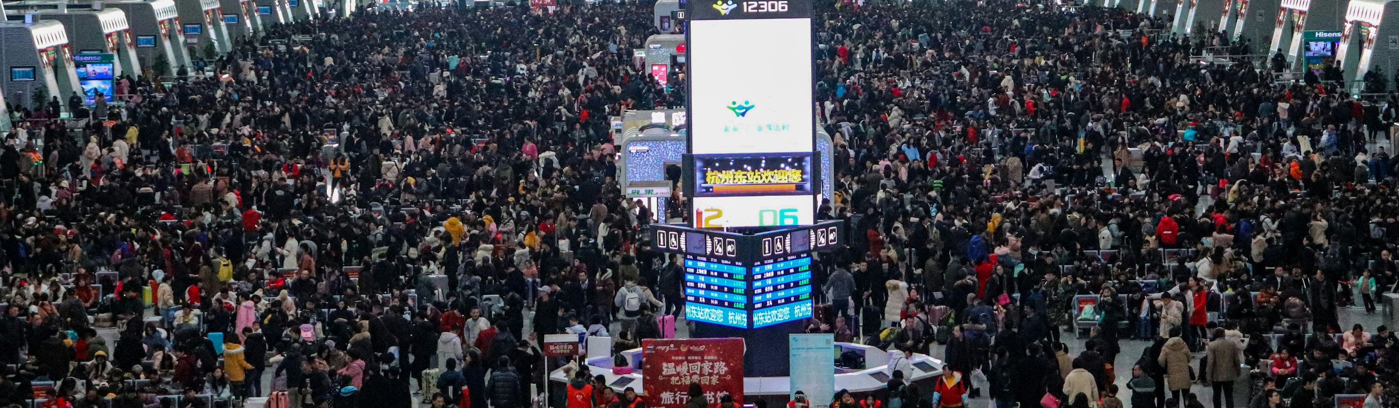

Pull up a crime mapping app before booking that Airbnb and you'll see your potential vacation rental color-coded by danger level, surrounded by pins marking assaults, thefts, and worse within a half-mile radius. SpotCrime, the most visited crime mapping website in the United States, now delivers real-time alerts to millions of users who've decided they'd rather know about the carjacking three blocks away than stumble into it blind. We're now navigating cities the way video game characters navigate hostile terrain, constantly checking our digital map overlays for threats.
Your Phone Now Routes Around Crime
Crime-aware trip planning has become standard on several navigation apps. The technology works similarly to how Google Maps predicts travel time using aggregated user data, except instead of measuring vehicle speed, these apps are analyzing FBI crime statistics, police reports, and even 911 dispatch data to create heat maps of criminal activity.
The Ozzi app, developed after the 2015 Paris attacks, has become a global neighborhood watch providing safety alerts and area ratings across international borders. Users report getting real-time updates about everything from violent incidents to traffic delays, all feeding into the decision about whether to take that shortcut through an unfamiliar part of town or stick to well-traveled routes even if they take longer.
Hotels and Rentals Get Filtered by Crime Metrics

Real estate and travel platforms are integrating crime data directly into their search results. CrimeoMeter provides APIs that developers embed into apps, allowing users to see crime incidents plotted on maps near properties they're considering.
College students use these tools to find safer walking routes. Dating apps could theoretically integrate them to suggest public meeting spots in well-lit, low-crime areas. The technology exists to layer crime data onto virtually any location-based service, and increasingly, companies are doing exactly that because consumers are demanding it.
The Data Is Messy and the Consequences Are Real
Crime mapping relies on crimes being reported and recorded, which means the data reflects police activity as much as actual criminal activity. Neighborhoods with heavy police presence generate more reports. Affluent areas where crimes go unreported to avoid publicity show up as safer than they actually are. Communities that distrust law enforcement underreport, skewing the maps in ways that have nothing to do with actual safety.
SpotCrime collects information from police agencies, news reports, and user tips, creating a patchwork dataset that's comprehensive in some cities and full of gaps in others. Some police departments share data freely, whereas others don't participate at all, leaving entire jurisdictions blank on maps.
Predictive Crime Forecasting Takes It Even Further

Crime and Place offers one-to-five-year crime projections using algorithms that analyze historical patterns and predict future hotspots. Users can slide a timeline to see forecasted crime rates, with the map overlay and all scores dynamically updating to show projections for each upcoming year.
Predictive policing has faced criticism. After all, if you predict crime in certain neighborhoods, you deploy more police there, which generates more arrests, which feeds back into the algorithm predicting high crime, creating a self-reinforcing cycle.
Realistically, how accurate are five-year crime forecasts? Despite the high probability of error, most users aren't asking these questions before deciding not to visit neighborhoods flagged as future high-crime zones.
Privacy and Surveillance Concerns Keep Growing
These apps track our every movement, and that data gets stored somewhere and can potentially be sold to third parties or handed over to law enforcement, depending on jurisdiction and terms of service that nobody reads. We're voluntarily creating surveillance infrastructure that tracks our movements in real time on the basis of personal safety concerns.
Whether the long-term societal costs—both in terms of privacy erosion and the social stratification that happens when crime avoidance becomes digitally optimized—are worth those individual safety gains remains an open question that we're answering through our download choices rather than through deliberate policy decisions.